


GPSMAP 76CSx Owner’s Manual 45
MAIN PAGES > MAP PAGE
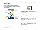
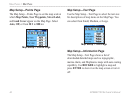
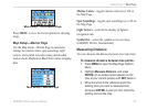
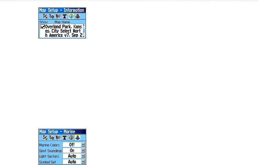
Map Setup – Information Page
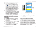
Press MENU to view the list of options for showing
maps.
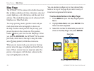
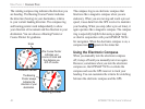
Map Setup—Marine Page
Use the Map Setup—Marine Page to customize
settings for marine colors, spot soundings, light
sectors, and symbol sets when using downloaded
marine charts MapSource BlueChart marine mapping
data.
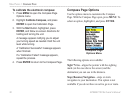
Map Setup – Marine Page
Marine Colors—toggles marine colors on or off on
the Map Page.
Spot Soundings—toggles spot soundings on or off on
the Map Page.
Light Sectors—controls the display of lighted
navigation aids.
Symbol Set—select the symbol set to use (Auto,
GARMIN, NOAA, International).
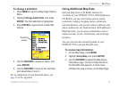
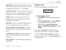
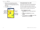
Measuring Distance
You can measure the distance between two map items.
To measure distance between two points:
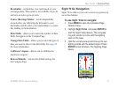
1. Press MENU to open the Map Page Options
Menu.
2. Highlight Measure Distance, and press
ENTER. An on-screen arrow appears on the
map at your current location with REF below it.
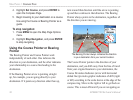
3. Move the arrow to the reference point (the
starting point you want to measure from),
and press ENTER. A push pin icon marks the
starting point on the map.