


42
Reference
Highway Page
Highway Page
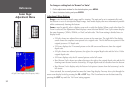
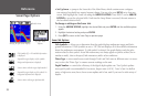
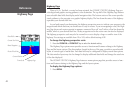
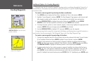
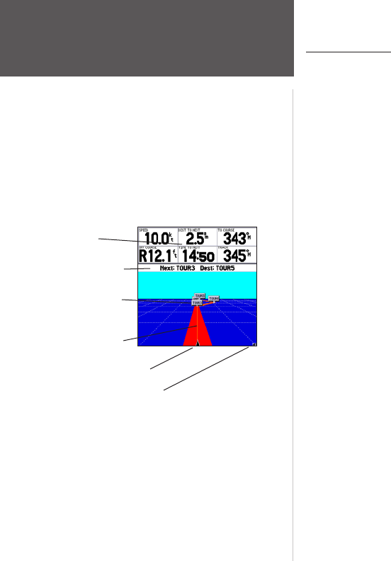
When a Go To, TracBack, or route has been activated, the GPSMAP 178/178C’s Highway Page pro-
vides digital and graphic steering guidance to the destination. The top half of the Highway Page features
user-selectable data fields that display useful navigation data. The bottom section of the screen provides
visual guidance to the waypoint on a graphic highway display. The line down the center of the highway
represents your desired track line.
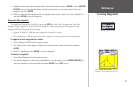
As you head toward your destination, the highway perspective moves to indicate your progress to the
waypoint and which direction you should steer to stay on course. If you are navigating a route, the High-
way Page shows each route waypoint in sequence connected by a red “road” with a yellow line down the
middle, which is your desired track line. Nearby waypoints not in the active route can also be displayed.
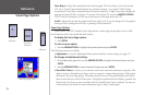
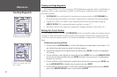
The highway perspective scale may also be zoomed in or out to display a larger or smaller view of the
highway. Five settings are available from 1X to 16X, with a default setting of 8X.
To change the highway perspective scale:
1. Press the ZOOM IN or ZOOM OUT key to select the desired setting.
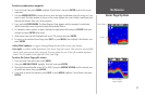
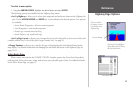
The Highway Page options menu provides access to functions and features relating to the Highway
Page and the layout options. The data window, located at the top of the page, provides a user-selectable
layout of various types of useful data. Each data field may be configured to display several data options.
The data window layout may also be changed to display additional data fields and change the actual size
of the data displayed.
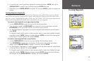
The GPSMAP 178/178C’s Highway Page features a menu options page that provides access to func-
tions and features relating to the Highway Page and the layout options.
To display the Highway Page options:
1. Press MENU.
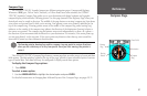
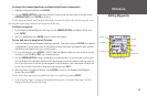
Current Nav Point
Data Fields
Route Waypoints
Desired Track Line
Current Position
Zoom Scale
Highway Page