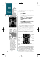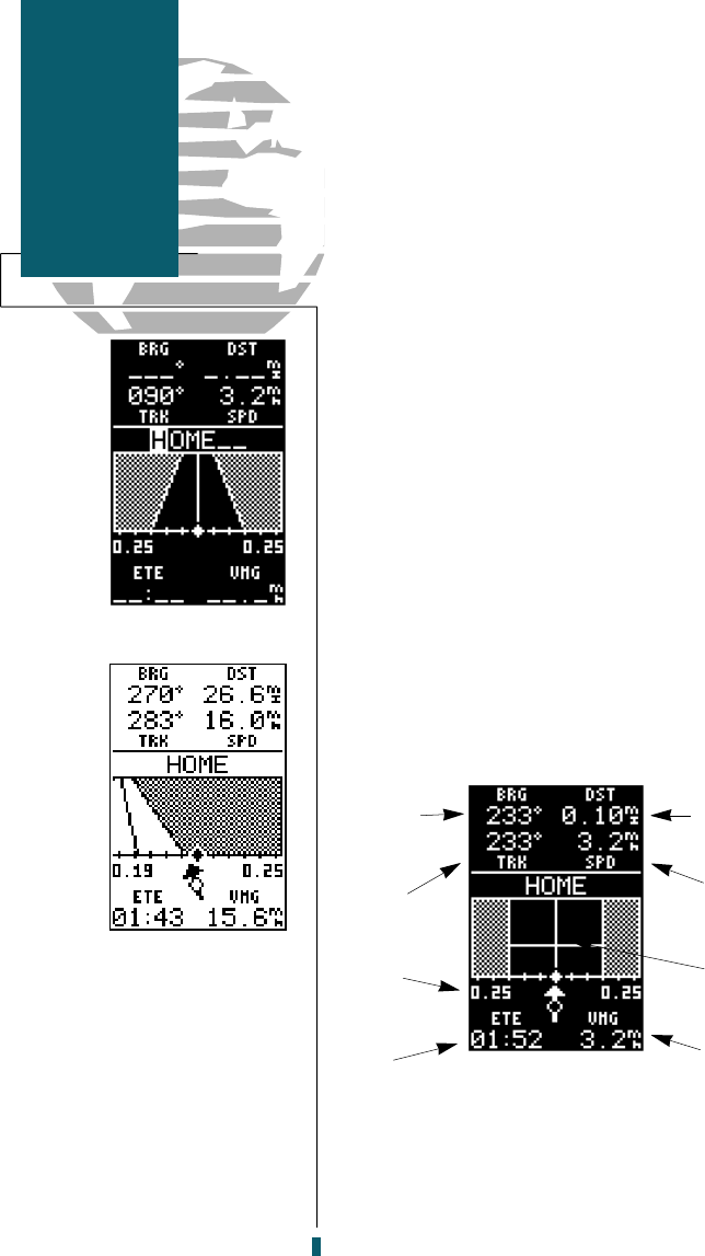
Now let’s navigate back to our starting position,
the HOME waypoint.
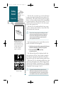
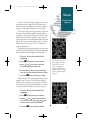
1. Press the
G
key.
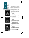
2. The Navigation Page will appear with the way-
point field highlighted.
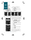
3. Press the
U
or
D
keys to scroll through
the available waypoints until ‘HOME’ is
displayed.
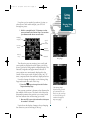
4. Press the
E
key to confirm that you want to
navigate to the displayed waypoint.
The GPS 40 will now guide you ‘HOME’.
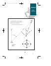
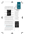
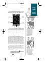
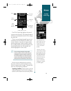
As you begin walking again, the Navigation Page
will display nav data and graphic steering guid-
ance. The bearing and distance to waypoint, with
your current track and speed are displayed at the
top of the screen, with your
estimated time enro u t e
(ETE) and velocity made good (VMG, or the rate you
a re closing in on your destination) at the bottom.
As you head towards your destination, the mid-
dle section of the screen provides visual guidance
to your waypoint on a moving graphic ‘highway’.
The moving arrow just below the course deviation
scale always points to your selected waypoint
(HOME) relative to the direction you are moving.
10
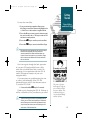
The moving highway
provides a visual per-
spective of the distance
and direction to way-
point. The highway will
always move to ‘point’
in the general direction
of your destination, with
the relative distance
indicated by the angle
of the outside lines of
the highway.
Getting
Started
Going to a
Waypoint
Bearing to
Waypoint
Present
Track
Course
Deviation
Scale
Distance to
Waypoint
Speed
Over
Ground
Graphic
Highway
Velocity
Made Good
Estimated
Time
Enroute
40 rev B 8/6/98 1:45 PM Page 10


