


70 GPSMAP 182/182C Owner’s Manual
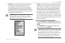
MAIN MENU > UNITS TAB
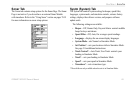
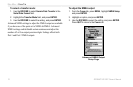
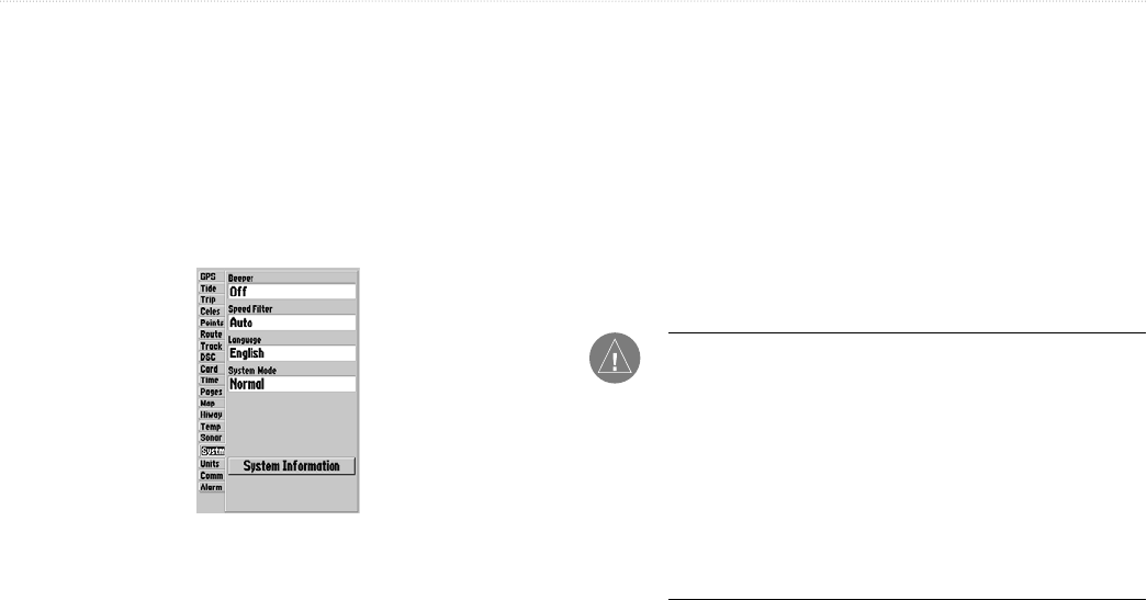
The following option is also available from the Systm tab:
• System Information—displays the unit’s software, basemap
version, and electronic serial number.
Press MENU to access the following options:
• Defaults—restores settings on Systm Page to default values.
• All Unit Defaults—restores all settings to Garmin’s original
setup values for the entire unit.
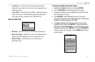
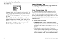
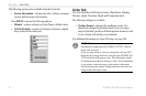
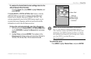
Units Tab
The Unit tab defines the Position Format, Map Datum, Heading,
Distance, Speed, Elevation, Depth, and Temperature units.
The following settings are available:
• Position Format—changes the coordinate system. You
should only change the position format if you are using a
map or chart that specifies a different position format or want
to use a format with which you are familiar.
For additional information on Loran TD setup, see page
108.
NOTE: The Units tab settings affects how navigation
information is displayed on the GPSMAP 182/182C. When in
doubt, seek assistance.
If you are using a map or chart in conjunction with your GPS,
make sure the settings under the Units tab of the GPSMAP 182/
182C match that of the map or chart. This information should
be displayed somewhere on the map or chart. If the information
is not present, contact the map or chart maker to determine
what position format, datum, heading and units of measure are
being used for the map or chart.