


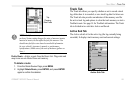
GPSMAP 182/182C Owner’s Manual 67
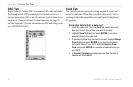
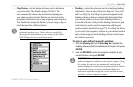
MAIN MENU > MAP TAB
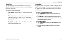
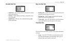
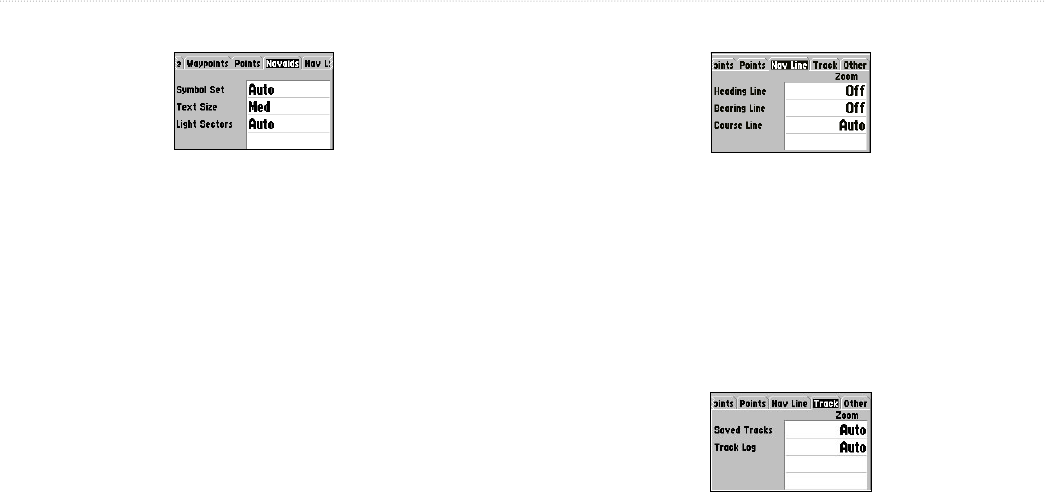
Navaids Sub Tab
• Symbol Set—Auto, Garmin, NOAA, International: controls
the navaid symbol set.
• Text Size—Small, Medium, and Large: controls the screen
size of the name.
• Light Sectors—Off, Auto, On: controls the drawing light
sectors on the map.
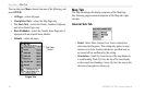
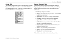
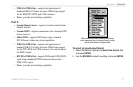
Nav Line Sub Tab
• Heading Line—On/Off: draws an extension from the end of
the boat icon in the direction of travel.
• Bearing Line—On/Off: toggles the black/white line that
points to the current navigation point.
• Course Line—Auto, Off, 120 ft-800 mi: sets the maximum
zoom scale that the course line appears on the screen.
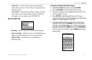
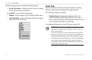
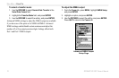
Track Sub Tab
The Saved Tracks and Track Log options each contain adjustments
for Zoom.
• Zoom—Auto, Off, 120 ft-800 mi: sets the maximum scale
the feature should appear on the Map Page. Some types of
data only show up to specific zoom scales.