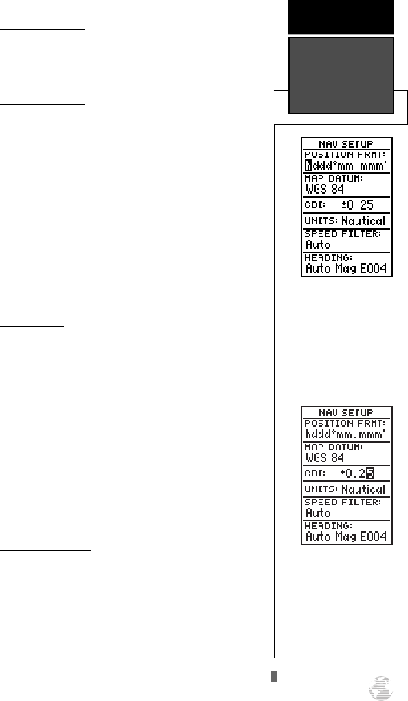
Navigation Setup
The navigation setup page is used to select units of
measurement for position format, map datum, CDI
scale, and distance, speed, and heading information.
Position Formats
The default position setting for the GPS 125
Sounder is latitude and longitude in degrees and min-
utes (hdddºmm.mmm’). You may also select degrees,
minutes and seconds (hdddºmm’ss.s’’); degrees only
(hddd.dddddº); UTM/UPS coordinates; or British,
German, Irish, Maidenhead, Swedish, Swiss, or Taiwan
grid formats.
To select a position format:
1. Highlight the ‘POSITION FRMT’ field and press
F
.
2. Use the
U
and
D
keys to select the desired set-
ting. Confirm the setting by pressing
F
.
Map Datums
The map datum field is located just below the posi-
tion format field, and comes with a WGS 84 default
setting. Although 104 total map datums are available
for use (see the map datum listing in Appendix D), you
should only change the datum if you are using maps or
charts that specify a different datum than WGS 84.
To select a map datum:
1. Highlight the ‘MAP DATUM’ field and press
F
.
2. Use the
U
and
D
keys to toggle through and
select the desired setting. Confirm the setting by
pressing
F
.
CDI Scale Settings
The course deviation indicator (CDI) scale defini-
tion field lets you select the +/- range of the CDI bar
scale. Three scales are available: +/- 0.25, 1.25 and 5.0
miles or kilometers, with 0.25 being the default setting.
To enter a CDI scale setting:
1. Highlight the ‘CDI SCALE’ field and press
F
.
2. Use
U
and
D
to select the desired setting and
press
F
.
53
The position format may be
set to display your choice of
many formats. Note: degree
and minutes is the default
setting.
REFERENCE
Navigation
Setup
Adjusting the CDI Scale will
determine the value used in
the Highway Page and for
the range rings on the Map
Page (if displayed).
125 Man Rev B 7/23/98 11:48 AM Page 53


