16
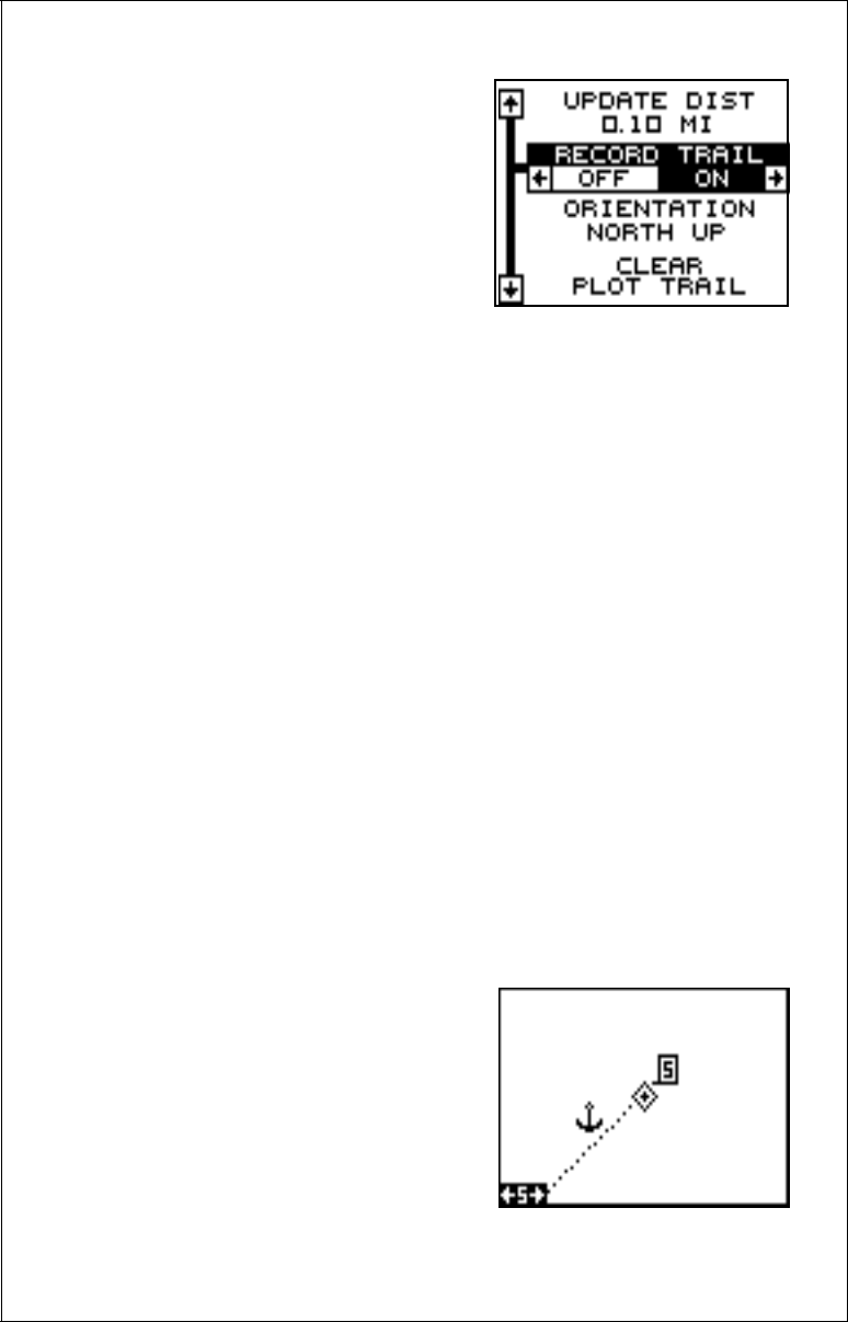
Record Trail On / Off
The line extending from the present po-
sition diamond on the plotter is call the
plot trail. As each dot on the trail is
placed on the screen, it’s also saved in
memory. The plot trail recording can be
turned off, if desired. To turn it off, press
the up or down arrow key until the
“Record Trail” menu is highlighted and
press the left arrow key. Press the EXIT
key to return to the main menu.
Clear Current Plot Trail
To erase the plot trail extending from your present position, highlight the
“ClearPlot Trail” menu, then press the right arrow key. A message box
appears, asking you if you really want to erase the plot trail. Follow the
directions on this message box. The Eagle View returns to the plotter
screen after the message box clears.
Plotter Orientation
Normally, the Eagle View shows the plotter with north always at the top of
the screen. This is the way most maps and charts are printed on paper.
This is fine if you’re always travelling due north. Waypoints you see to
your left corresponds to the left side of the plotter, to your right is shown
on the right side of the plotter, and so on.
However, if you travel any other direction, the plotter doesn’t line up with
your view of the world.
To correct this problem, the Eagle View has a track-up mode that rotates
the plotter as you turn. Thus, what you see on the left side of the screen
should always be to your left, and so on. It also has a course-up mode
that keeps the plotter at the same orientation as your initial bearing to the
waypoint.
In the examples shown at right and on
the next page, we're travelling southeast
(about 210° magnetic). In the north-up
view (at right), the present position indi-
cator appears to move towards the lower
left corner of the screen. The anchor icon
shown on the left side of the screen is
actually on our right. North is always at
the top center of this screen.
NORTH-UP MODE


