


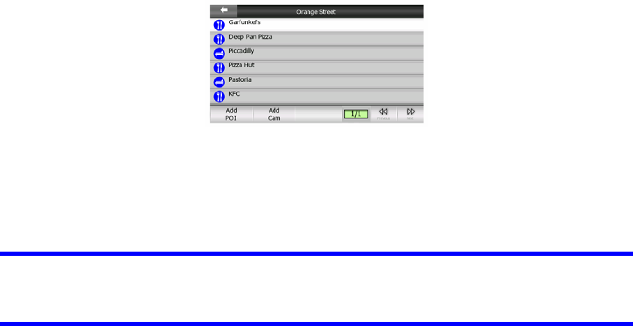
camera if you tap Add Cam, and set the parameters (type, direction, and speed). If
a camera already exists near the cursor, this button is inactive, and you can
change the parameters of the camera by tapping it in the list.
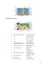
4.5.14 Current street (No. 16)
This field of the Cockpit screen shows the name or number (as available) of the
current street or road you are driving on.
Tip: Some roads have an alternative name (or number). This is normally shown
together with the primary name in this field. You can hide these alternative names in
Map settings (Page ). 66
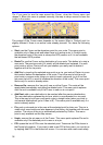
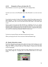
4.5.15 Travel and Route data (No. 17)
The contents of these three fields are different when cruising (without an active
route) or navigating (following an active route).
While cruising, the fields show the present speed, the current speed limit and the
time of day.
While navigating a route, these fields show the estimated time needed to reach the
destination (ETE), the distance to destination, and the estimated arrival time at the
destination (ETA) by default.
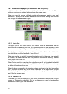
You can choose what to display in these three fields during navigation, by going to
Advanced settings / Display Options (Page ). See the following list for your
options. The only restriction is that you cannot select a value that already appears in
another field. The possible field contents are:
73
• Distance to destination (default value for the left field)
• Time to destination (estimated time en route, default value for the middle field)
• Distance to next via point
• Time to next via point
• Time to next manoeuvre (next route event)
• Speed
• Speed limit
37