


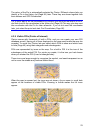
The colour of the Pin is automatically selected by Clarion. Different colours help you
identify a Pin in the History list (Page ) later. There they are shown together with
their address and GPS Coordinates.
85
Tip: A quick way to tell the coordinates of a location you found on the map is to Pin it,
and then look for the coordinates in the History list (Page ).This way you also save
the coordinates with the Pin for later reference. If you do not need the coordinates
later, just select the point and start Find Coordinates (Page
85
86).
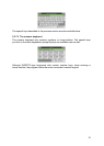
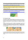
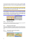
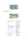
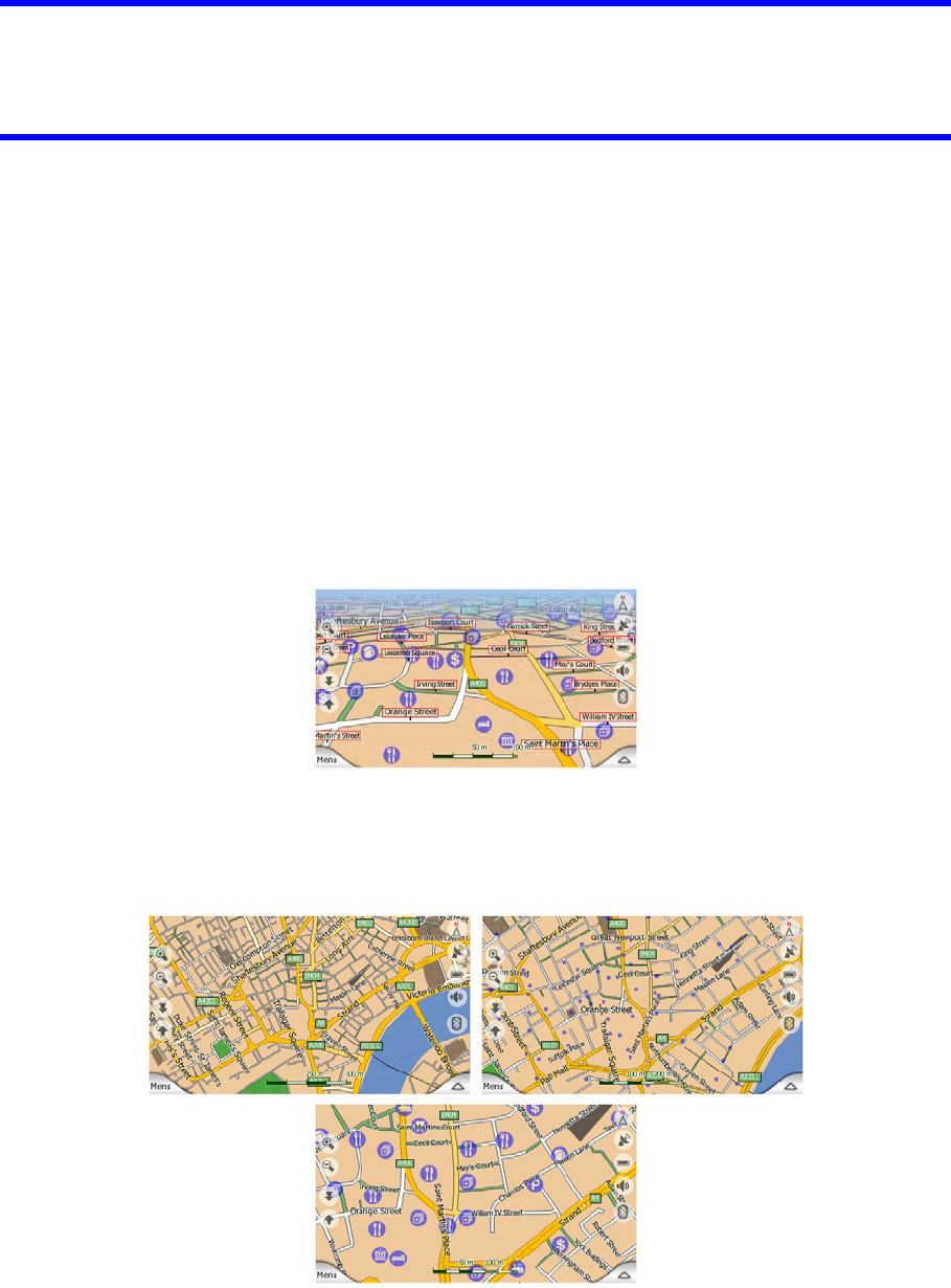
4.3.9 Visible POIs (Points of Interest)
Clarion comes with thousands of built-in POIs, and you can create your own POI
database as well. Having all of them displayed on the map would make the map too
crowded. To avoid this, Clarion lets you select which POIs to show and which ones
to hide (Page ) using their categories and subcategories. 45
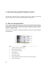
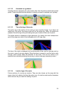
POIs are represented by icons on the map. For a built-in POI it is the icon of the
subcategory of the actual POI. For points you create, it is the icon you had chosen
when you created the POI (it can be changed later).
These icons are large enough to recognise the symbol, and semi-transparent so as
not to cover the streets and junctions behind them.
When the map is zoomed out, the icons are not shown. As you zoom in, small dots
appear at the locations of visible POIs. Zooming in further makes the full icons
appear.
23