


Reference
11
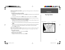
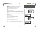
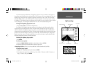
Map Page Setup Options
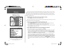
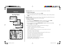
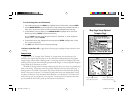
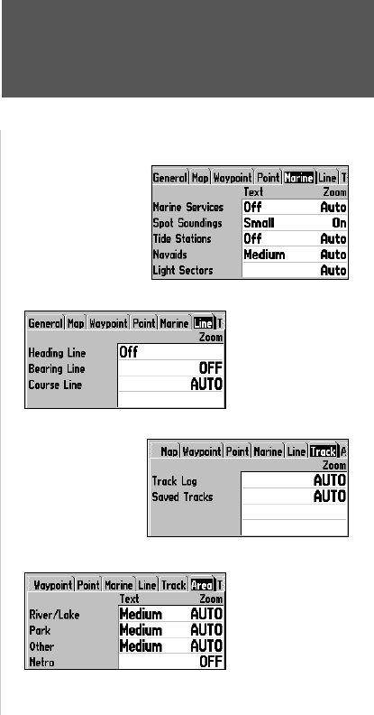
Marine Tab
— Marine Services, Spot Soundings, Tide Stations, Navaids, Light Sectors
Text— Off, Small, Medium, and Large: controls the screen size of the name.
Zoom— Auto, Off, 20 ft.-800 mi.: sets the maximum scale at which the feature appears on the screen.
Some types of data will only be displayed at certain zoom scales.
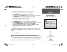
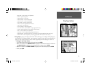
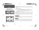
Line Tab
Heading Line— On/Off: turns the Heading Line on or off. The Heading Line projects from the
triangle showing your current heading.
Bearing Line— Auto, Off, 20 ft.-800 mi.: sets the maximum scale at which the Bearing Line appears
on the screen. The Bearing Line shows the bearing from your current location to a destination
waypoint.
Course Line— Auto, Off, 20 ft.-800 mi.: sets the maximum scale at which the Course Line appears on
the screen. The Course Line shows a direct navigation line from the point navigation was initiated to a
destination waypoint.
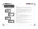
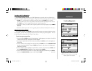
Track Tab— Track Log, Saved Tracks
Zoom— Auto, Off, 120 ft.-800 mi.: sets the maximum scale at which the feature appears on the
screen. Some types of data will only show up at certain zoom scales.
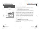
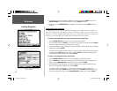
Area Tab— River/Lake, Park, Other, Metro
Text— Off, Small, Medium, and Large: controls the screen size of the name.
Zoom— Auto, Off, 20 ft.-800 mi.: sets the maximum scale at which the feature appears on the screen.
Some types of data will only be displayed at certain zoom scales.
Topo Tab— Major Contour, Inter Contour, Minor Contour, Land Cover
Text— Off, Small, Medium, and Large: controls the screen size of the name.
Zoom— Auto, Off, 20 ft.-800 mi.: sets the maximum scale at which the contours appear on the
screen. Some types of data will only be displayed at certain zoom scales.
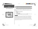
Marine Tab
Line Tab
Track Tab
Area Tab
190-00185-10_0A.indd 11 6/18/2002, 10:00:20 AM