


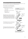
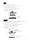
1-3
Tide
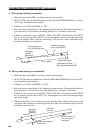
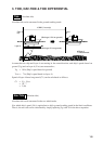
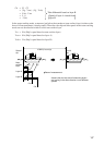
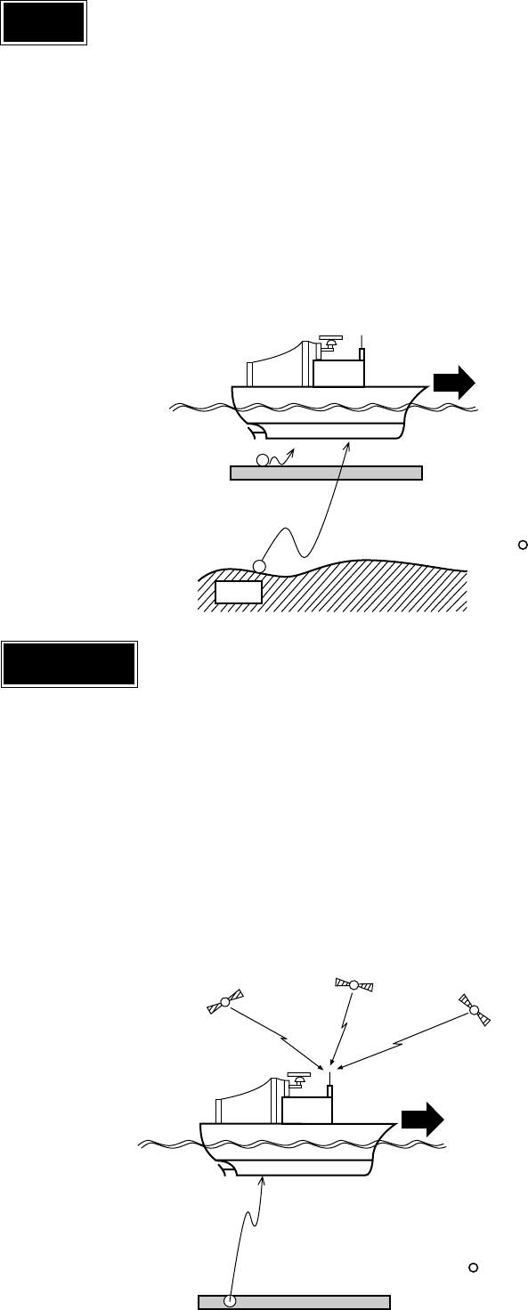
Tide is movement of watermass at a particular depth.
To know absolute tide (speed on ground), the following two data are required:
1 Ship’s speed and course based on ground
2 Ship’s speed and course based on measuring layer (A)
Absolute tide is, then, given as a difference of these two speed vectors.
Absolute Tide = 1 - 2
Fixed
Layer (A)
:Base of
measurement
q
w
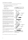
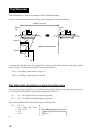
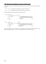
Nav-Tide
Nav-Tide is an absolute movement of watermass at a particular depth, taking speed information
from the external navigator (GPS) as a pseudo ground tracking speed.
To calculate Nav-tide, the following two data are required:
1 Ship’s speed and course obtained by external navigation equipment (GPS)
2 Ship’s speed and course based on measuring layer (A)
Nav-tide is, then, given as a difference of these two speed vectors.
Absolute Tide = 1 - 2
GPS satellites
q Nav-aided speed
(Pseudo ground tracking speed)
w Water tracking
speed
Layer (A)
:Base of measurement