


36
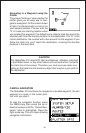
Navigating to a Waypoint using the
Plotter
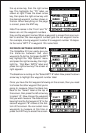
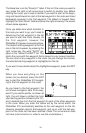
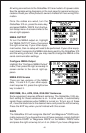
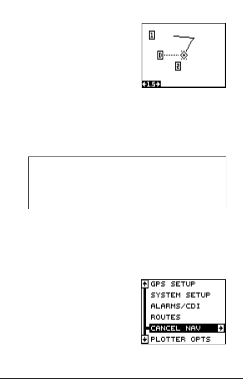
The unique “birds-eye” view used by the
plotter gives you an easy way to navi-
gate to a waypoint. On the screen shown
at right, the diamond with a cross in it is
your present position. The box with the
“S” in it was your starting location when
you recalled the waypoint. The dotted line is called a track line and is the
shortest path from the starting location to the destination. The “D” is the
cursor destination, the number with a box around it is the waypoint. If you
follow the track line, you’ll reach the destination, covering the shortest
distance in the least time.
CAUTION!
The GlobalNav 310 does NOT take land features, altitudes, restricted
or prohibited areas, or any other feature into account when it projects
the track line on the screen. Therefore, you must use care when navi-
gating on the track line and avoid any object that may be in your path to
the destination.
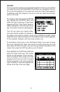
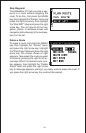
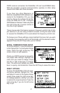
CANCEL NAVIGATION
The GlobalNav 310 continues to navigate to a recalled waypoint, the last
waypoint in a route, or the cursor posi-
tion until you stop it.
To stop the navigation function, press
the MENU key, then press the up or
down arrow keys until the “Cancel Navi-
gation” label is highlighted. Press the
right arrow key. The unit stops showing
navigation information.