


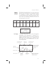
resolution, 100.0 to 999.9 km at 0.1 km resolution,
and 1000 to 9999 km at 1 km resolution. See page 6
for details on changing units of measurement.
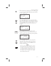
Track (Trk) Angle
Track Angle is the angle of your actual direction of
travel. Track is shown as a positive value from 0 to
359 degrees in one degree increments. Track is
computed using the magnetic variation at the Present
Position. The Track value will be dashed if the
FROM or TO waypoints are blank, if the GPS
receiver does not have a valid position, or if ground
speed is less than 5 knots.
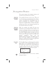
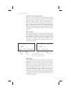
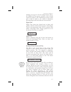
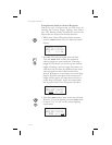
ete aSLE 00:37
0.006 “
Trk 175 Tae 002R
Track Angle Error (Tae)
Track Angle Error is the difference between the
Desired Track and Track Angle (Dtk - Trk). Track
Angle Error is shown from 0 to 359 degrees in one
degree increments. Track Angle Error is computed
using the magnetic variation at the Present Position.
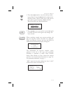
The Track Angle Error value will be dashed if the
FROM or TO waypoints are blank, if the GPS
receiver does not have a valid position, or if ground
speed is less than 5 knots. A letter ® or L) will show
the direction of the error in relation to track angle.
Ground Speed (GS)
Ground Speed is the measure of your progress over
the ground, not airspeed. Ground Speed units are
from 0 to 999 knots in 1 knot increments. The
Ground Speed value will be replaced with dashes if
the speed is less than 5 knots, there is no valid GPS
position, or the TO waypoint is blank. See page 6 for
details on changing units of measurement.
3-7
Navigation Basics
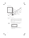
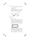
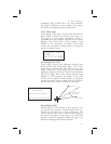
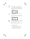
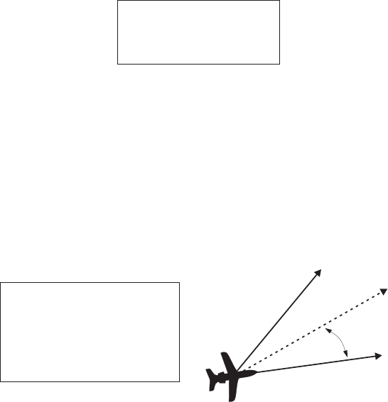
Track Angle
Error (TAE)
TRK
TAE = Difference between Track
and Desired Track
Desired Track = Course direction
Track = Direction the aircraft is going
TAE = Left
TAE = Right