


50
Views
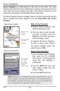
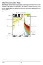
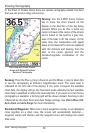
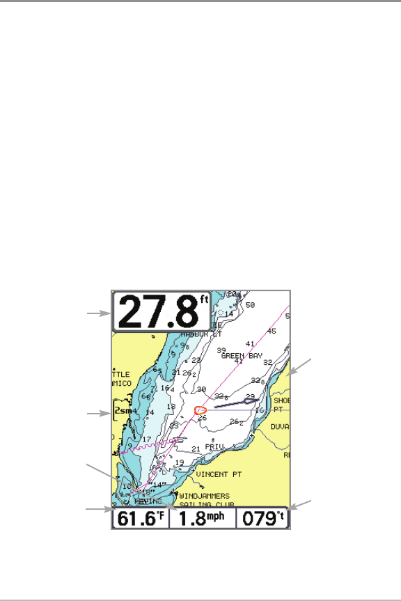
Chart View
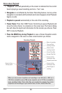
Chart View shows cartography from the built-in UniMap™ or an optional
SD card map for the area surrounding your current position. The current track
(also known as the position history or breadcrumb trail) showing where the
boat has been, along with saved tracks, waypoints, and the current route (when
navigating), are overlaid on the chart. See Chart View Orientation and
Introduction to Navigation for more information.
• Shift/Pan: Use the 4-WAY Cursor Control key to shift/pan the chart to
another area.
• Zoom: Press the +/– ZOOM keys to zoom in and out. Zooming is also
influenced by the Auto Zoom and Auto Range settings. See Chart Menu
Tab: Auto Zoom and Auto Range for more information.
• Info: Press the CHECK/INFO key to get information on the chart objects
near the cursor.
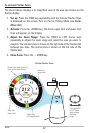
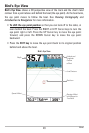
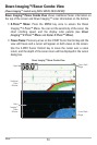
Chart View without Active Cursor, shown with
Optional-Purchase Navionics® Cartography
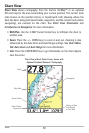
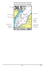
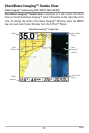
Depth
Map Scale
Speed of Boat
Water Surface
Temperature
Cartography
Bearing of Boat
with Respect
to True North