


56
Viewing Cartography
In the Chart or Combo Views there are several cartography-related functions
that you can access using various keys.
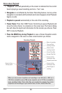
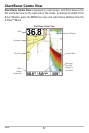
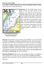
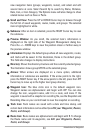
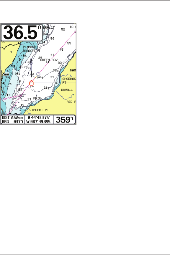
Panning: Use the 4-WAY Cursor Control
key to move the chart around on the
display in the direction of the key being
pressed. When you do this, a bull's eye
cursor is drawn at the center of the screen
and is linked to the boat by a gray line,
even if the boat is off the screen. At the
same time, the temperature and speed
boxes in the lower left corner are replaced
with the distance and bearing from the
boat to the cursor position and the
latitude/longitude coordinates of the
cursor.
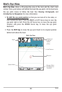
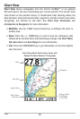
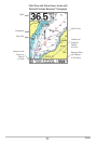
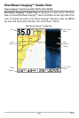
Zooming: Press the Plus (+) key to Zoom In and the Minus (–) key to Zoom Out
to see the cartography at different magnification levels. The zoom level is
indicated on the left side of the display. If you zoom in beyond the available
chart data, the display will go into Overzoom mode whereby the last available
chart data is amplified to reflect the level selected. If you zoom in so far that no
cartography is available, a lat/long grid will be drawn instead. Zooming is also
influenced by the Auto Zoom and Auto Range settings. See Chart Menu Tab:
Auto Zoom and Auto Range for more information.
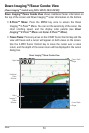
Decluttered Waypoints: When two or more waypoints overlap, or are displayed
close together on a chart view, the screen will automatically declutter—
waypoint names will shorten and the waypoint icons will change into small
blue icons.
Chart View with Cursor Present,
shown with Optional-Purchase
Navionics® Cartography
Views - Viewing Cartography