


Navigating
the Trip
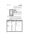
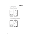
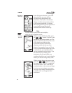
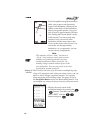
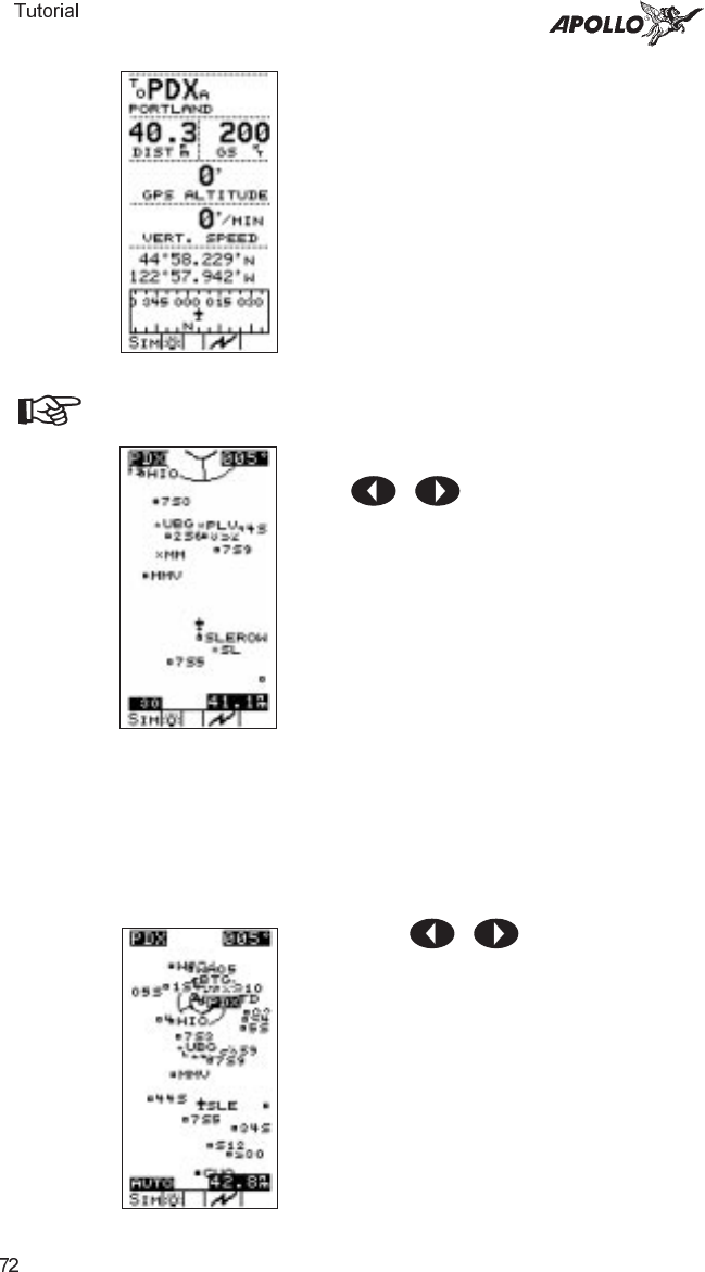
In the Navigation function, your track
shows directly on course with no
deviation from the bearing to the
destination. The Lat/Lon coordinates
change to reflect your present position
to the nearest hundredth of a minute.
The bearing/distance/ground speed show
your selected ground speed and
estimated time enroute on the trip.
Note
No GPS altitude value shows on the display
when you are in Simulator mode.
Looking
Around
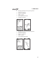
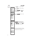
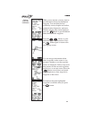
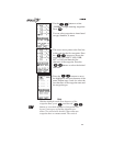
While viewing the Moving Map, press
the buttons to zoom in and
out and see waypoints around you. The
map scale shows in the lower left corner
of the display and indicates the
represented distance between the
airplane symbol and the top of the
display. For example, if you are 30 nm
from your destination and the map scale
is set to 30 nm, you should be able to
see the destination on the display. If, at
the same map scale setting, your
destination was 40 nm distant, you
would not be able to see it on the display
unless you selected a larger map scale.
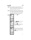
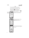
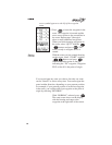
While viewing the moving map screen,
press the buttons to change
the map scale to “AUTO” to enable the
auto zoom feature. Auto zoom shows
your destination on the screen and keeps
it in view as you navigate your course.
The map scale changes automatically to
a smaller scale as you approach the
destination.