


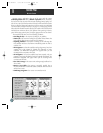
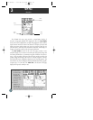
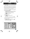
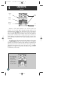
A. The map options
page provides access
to all map
configuration, page
display and data
field options.
B. The ‘Maximize
Map?’ option will
eliminate the data
fields and show full-
screen cartography.
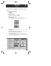
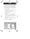
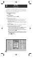
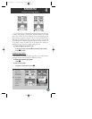
MAP PAGE
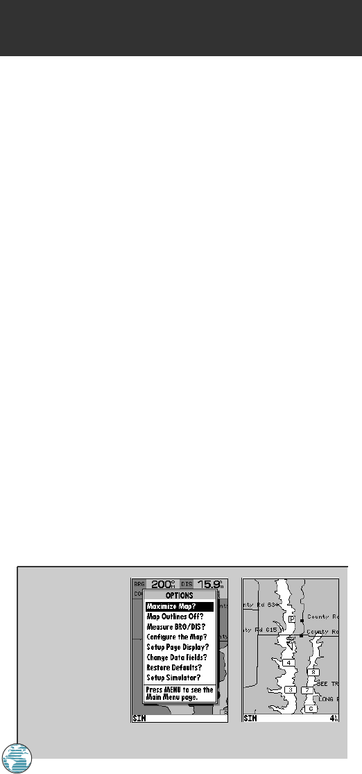
Map Page Options
The GPSMAP 175 map page is designed to be a flexible tool that can be
custom-tailored to your exact navigation needs. The map options page
provides access to many of the features and functions that will help you
configure the map page to your own preferences.
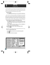
To display the map page options:
1. Press O.
To select a menu option:
1. Highlight the desired option and press T.
The following options are available:
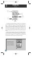
• Maximize/Normal Map?— allows you to select between a full-
screen map display or the default map display with data window.
• Map Outlines Off/On?— allows you to specify whether or not
coverage outlines for G-chart cartography are displayed. The default
setting is on.
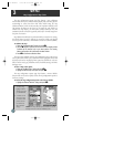
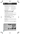
• Measure BRG/DIS?— allows you to measure the bearing and
distance between any two points on the map display.
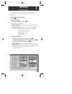
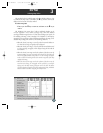
To measure the BRG/DIS between two points:
1. Highlight the ‘Measure BRG/DIS?’ option and press T. An on-screen
pointer will appear on the map display at your present position.
2. Move the cursor to the desired reference point (the point that you want
to measure from) and press T.
3. Move the cursor to the point that you want to measure to. The bearing
and distance from the reference point will be displayed at the bottom
left of the data window.
4. Press the Q key to finish.
32
3
175 Manual 7/31/98 3:56 PM Page 32