


84 GPSMAP 3206/3210 Owner’s Manual
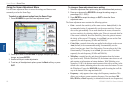
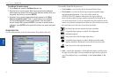
usIng sonar > sonar tab
sonar
To calibrate the water speed:
1. OntheSonartab,presstheCal Water Spdsoftkey.
2. Bringtheboattocruisingspeed.Boththetopgroundanduncalibrated
waterspeedsareshownatthebottomofthecalibrationwindow.Noteyour
topspeed,stoptheboat,andpressENTER.
3. Bydefault,thetopgroundspeedautomaticallyappearsinthe“What
was your top water speed?”eld.Ifagroundspeedisnotavailable,
thetopuncalibratedwaterspeedisusedinstead.Ifthenewspeedis
correct,highlightOK,andpressENTER.Ifyouwanttomanuallyentera
calibration,pressENTERonthespeedeld,enteranewspeed,andpress
ENTER.
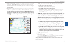
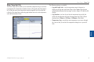
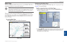
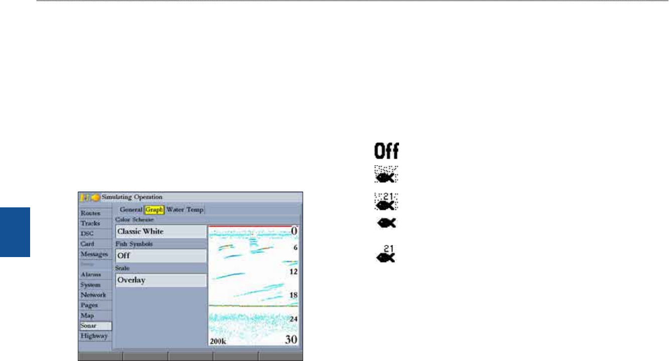
Graph Sub Tab
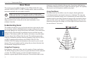
Use the Graph sub tab to select the color scheme, sh symbols, and scale.
The available Graph sub tab options are:
Color Scheme—sets the colors for the Sonar and Flasher Pages.
Fish Symbols—sets how the Sonar Page interprets suspended targets
and background information. If you select a sh symbol, the
GPSMAP 3206/3210 identies some returns for you by replacing
them with sh symbols (in large, medium, and small sizes based on the
size of the sonar return). If you are using dual beam, sh symbols from the
narrow beam (directly underneath your boat) are solid, and the returns from
the wide beam (out to the sides of your boat) are hollow.
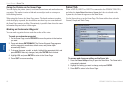
the Sonar Page does not interpret the sonar return data.
Suspended targets appear as symbols. No background
information appears
Same as previous with the target depth shown.
Suspended targets appear as symbols. Background information
appears, making the distinction between sh and structure easier.
Same as previous with target depth shown.
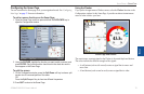
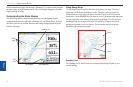
Scale—controls the appearance of the depth scale shown vertically along
the right side of the graph. You can congure the depth scale to appear in
one of four different ways: as an Overlay, in the Corners, Basic, or No
Scale.
•
•
•