- 9 -
1. Click the Trip icon in the
Data Download Wizard.
Trip
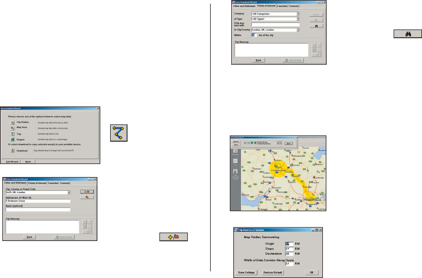
This method of selecting data is by far the most customisable method.
It allows you to run a trip and select street-level data specifi c to that trip,
thereby avoiding unneeded data and saving valuable memory space.
Once the trip is run, the Data Download Wizard automatically selects
circles of data around your origin and destination, and a corridor of data
along your route. You can then click Options to adjust the radius of the
circles and the width of the corridor.
The Trip Itinerary for each trip you download will be stored on your
Smartphone (see Trip Transfer, p. 11). Multiple trips can be downloaded
to the Smartphone for later use.
Follow these steps to download Trip data:
2. Enter at least a start and
end place for your trip. In the
Cities and Addresses tab, type
a City, Country or Postal
Code and press <Enter>.
Optionally, you can enter an
address in the same way. Click
the Add Stop button to add
this place to your trip.
You may enter one or multiple
destinations. Use the buttons
to the right of the Itinerary to
zoom to a stop on the map,
change the order of stops, or
delete a stop.
3. To search for a POI, click
the Points of Interest tab, enter
a City, Country or a Postal
Code and click the Find button.
(You can speed up your search
by selecting a POI Category
and/or Type.) Then highlight
a selection on the list, click
Select, then Add Stop to add
the POI as a stop.
Note: For a more detailed
description of trip entry, open
CoPilot Help from the desktop
application (Help menu > Help
Contents and Search).
4. When all your stops have
been entered, click Select
Data.
By default a 20 mile (32
kilometer) radius around
all stops and a width of 4
miles along the corridor
which connects them will be
highlighted. Note: CoPilot’s
available memory calculations
subtract a certain amount from
the available memory on your
storage card (if you are using
one) to account for support
fi les.
5. To customise these distances
for any trip, click Options
and type a distance in the
appropriate box.
