


Page 24
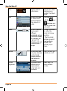
How Do I Use It?
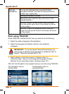
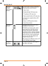
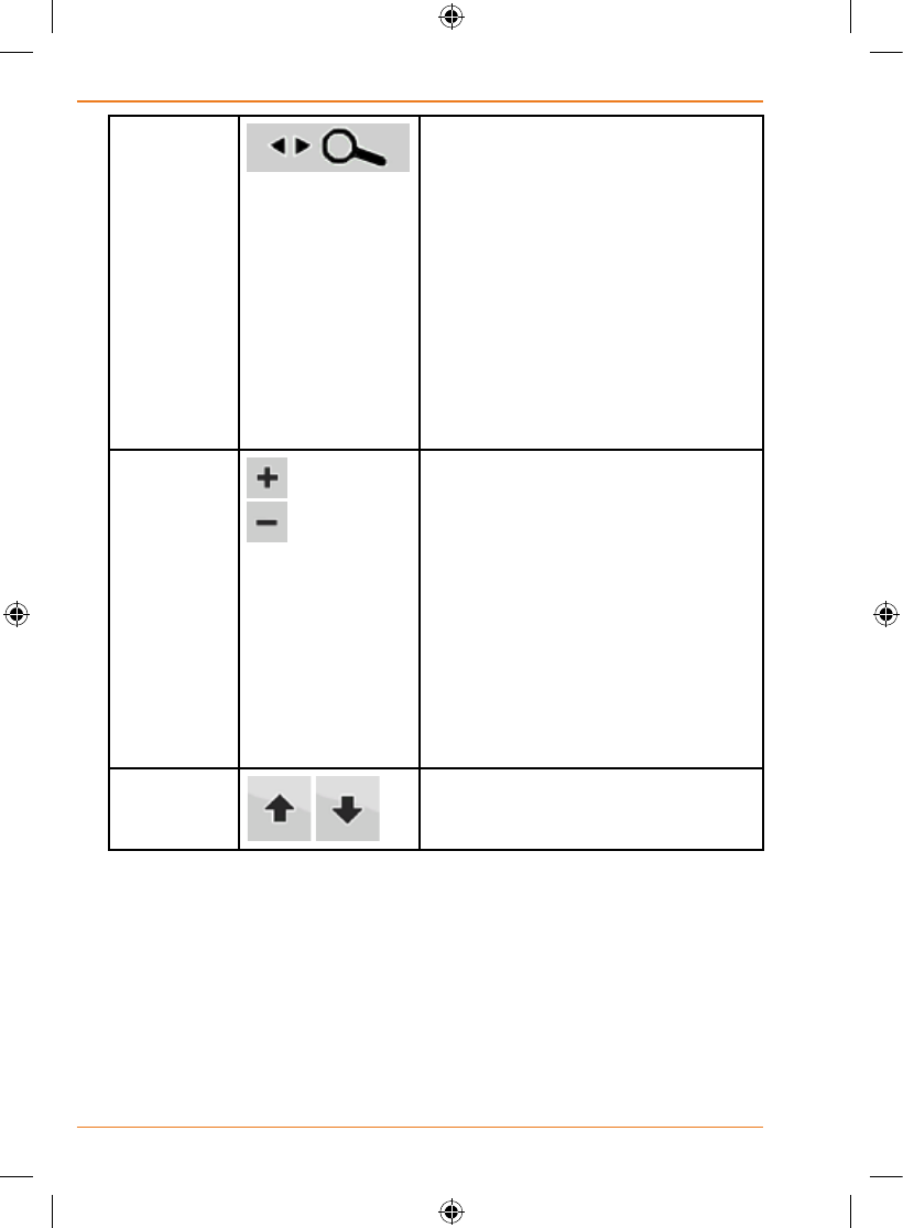
Opening/
closing
map control
buttons
Tap this button to show or hide the
following map control buttons:
•Zoomin/out
•Rotateleft/right(3Dmaponly)
•Tiltup/down(3Dmaponly)
•Zoompresetbuttons(2Dmaponly)
•Tiltandzoompresetbuttons(3D
map only)
•ReturntoGPSpositionbutton
•SmartZoombutton
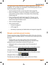
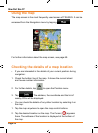
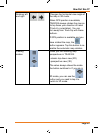
Zooming in
and out
Changes how much of the map is
displayed on the screen.
TRAX325 uses high-quality vector
maps that let you see the map at
various zoom levels, always with
optimised content. It always displays
street names and other text with the
same font size, never upside-down,
and you only see the streets and
objects that you need.
Map scaling has different limits in 2D
and in 3D map view modes.
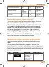
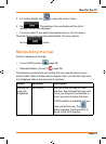
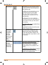
Tilting up
and down
Changes the vertical view angle of
the map in 3D mode.