


Black plate (48,1)
Model "NAV2-N" EDITED: 2007/ 3/ 9
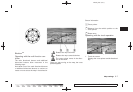
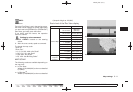
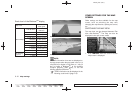
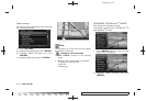
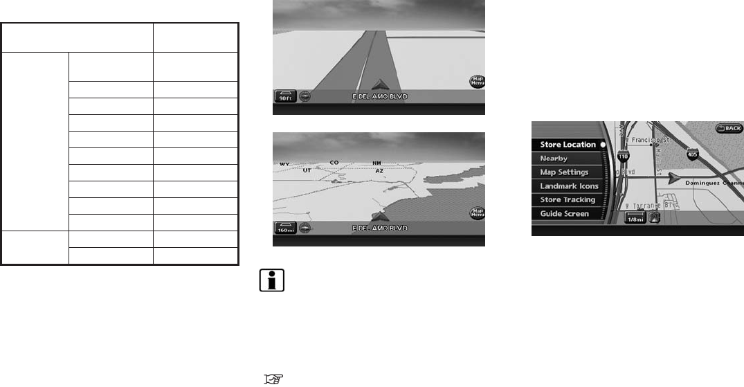
Scale level of the Birdview
TM
display
Map scale
Distance be-
tween grids
Normal Map
1:20.48 million
160 miles
(256 km)
1:5.12 million 32 miles (64 km)
1:2.56 million 16 miles (32 km)
1:1.28 million 8 miles (16 km)
1:640,000 4 miles (8 km)
1:320,000 2 miles (4 km)
1:160,000 1 mile (2 km)
1:80,000 1/2 mile (1 km)
1:40,000 1/4 mile (500 m)
1:25,000 1/6 mile (250 m)
3D building
graphics
1:6,000 180 ft (60 m)
1:3,000
90 ft (30 m)
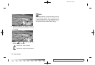
Example: The most detailed level
Example: The widest level
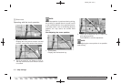
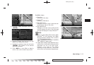
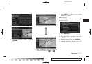
INFO:
The traffic information icons are not displayed on
the map screen when the map scaleis setto 1/4
mile (500 m) or higher in Plan View, to 1 mile (2
km) or higher in Birdview
TM
, to the building
footprint graphics (Plan View) , or th e 3D
building graphics (Birdview
TM
).
“Traffic information can be displayed in the
following scale levels” (page 7-8)
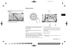
Other settings are also available for the map
screen, such as switching the map view,
changing the map direction, splitting the screen,
etc.
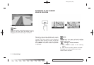
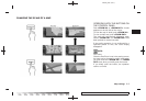
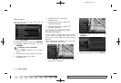
SWITCHING THE MAP VIEW
The map view can be changed between Plan
View and Birdview
TM
. The map can also be
displayed in the split screen mode.
1. Push <ENTER> while the current location
map screen is displayed.
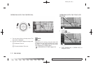
OTHER SETTINGS FOR THE MAP
SCREEN
3-12 Map settings