


19
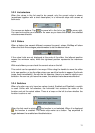
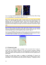
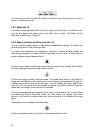
The line of the route is displayed on the driving side of the road for two-way and on
the axis in case of one-way streets. When the map is zoomed in and the line is wide
enough, small arrows show the direction of the route. This can be useful if you
preview the route before starting the journey or when entering a complex junction.
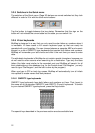
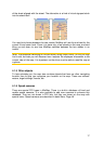
4.1.8.4 Roads in the route excluded by your preferences
Although you can choose whether to include or avoid some road types in Route
parameter settings (Page 74), sometimes they are impossible to avoid near the
starting point, via points or the destination.
If so, MioMap will display those segments of the route with an alternate colour.
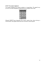
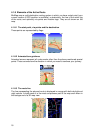
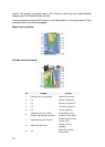
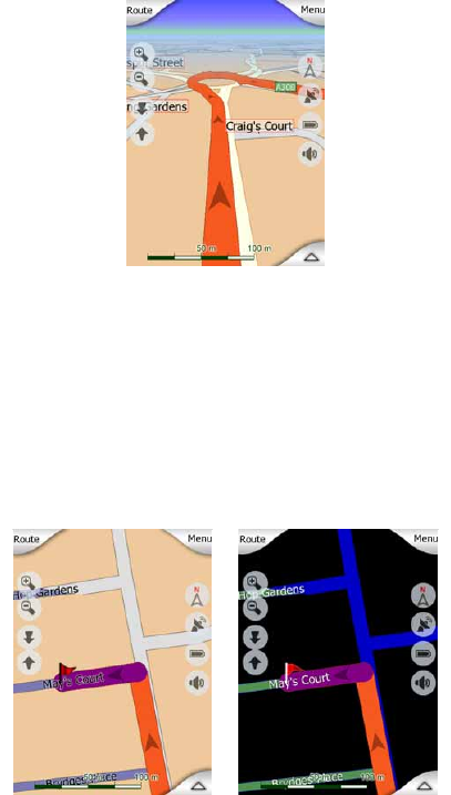
4.2 Screens with map
Having explained the contents of the map, the description of the other parts of the
map screens follows. There are two map screens: the Map screen and the Cockpit
screen. The way they show the map is the same but their look and controls are
optimised for different purposes.
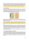
The Map screen is to be used mainly without a GPS, to browse the map, create user
POI items, or to plan your route based on map points. The Map screen is designed
to give you the maximum map area. This screen is usually used in 2D North-up
mode.
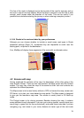
The Cockpit screen is for driving purposes. Besides showing the map, it contains
some additional travel information if you are just cruising (speed, current street your
are driving in, speed limit for the current street), and some more route data if you are
navigating (e.g. next street in your route, distance to travel, type of the next route