


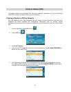
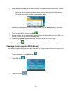
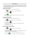

3. Small symbols represent the following service POIs near the exits:
• Restaurants
• Gas Stations
• Car Repair
• Accommodation
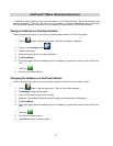
4. Tap any of the symbols to get a list of related POIs near the exits.
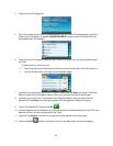
5. Select one POI from the list, and tap OK.
6. A screen appears with the address of the selected POI, the estimated time of arrival (ETA), the
distance to travel, and the routing method (e.g. Fast).
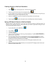
7. (optional) Tap Options if you want to change the routing method or the vehicle type.
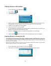
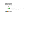
8. Tap the large GO
button on the right to return to the Map screen and start navigating.
35