19
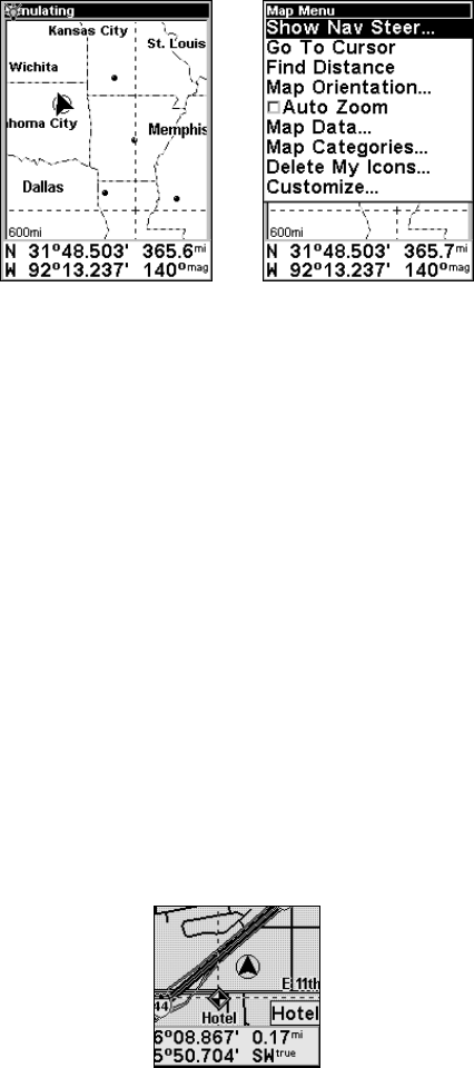
Map display, left, and Map Menu, right.
The Map Display has its own menu, which is used to find distances,
change the orientation of your map, view map data, and perform other
helpful map functions. To access the Map Menu, press the
MENU key.
We'll describe the various options in the Map Menu in detail later in
this section.
Waypoints
One of the most powerful tools in using the map display is the creation of
waypoints. Waypoints are user-created graphical icons representing map
locations. You can create a waypoint at your current position, or anywhere
else on the map simply by scrolling the cursor to the desired location.
To create a waypoint, press and hold
ENT until you see the words "Save
Waypoint." Release
ENT, and the Create Waypoint menu appears. We'll
describe waypoint creation in detail later in this section. For now, we'll
explain how to use an existing waypoint on the map.
Selecting a Saved Waypoint
You can select any waypoint by moving the cursor over its symbol on
the map display. When you do, the symbol will be outlined with a black
halo. The waypoint's name will also appear in a pop-up box.
A halo indicates a selected waypoint on the map display


