


20
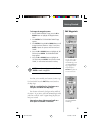
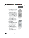
Bearing—the compass direction between your location
and destination.
Elevation—the measurement of height above mean sea
level.
Location—shows your current latitude and longitude.
Sunrise—the time of sunrise at your present location.
Sunset—the time of sunset at your present location.
Trip Time—the total time you have traveled since the
last trip reset.
Trip Odometer—like the odometer in your car, ‘TRIP
ODOMETER’ tells you how far you’ve gone since the last
trip reset.
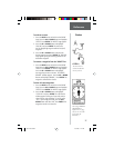
To change a data fi eld:
1. On the ‘POINTER’ Page, press the UP or DOWN
Button and scroll through the available options,
stopping on the data you want the eTrex to display.
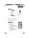
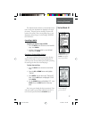
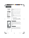
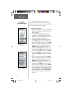
Menu Page Selections
The Menu Page turns the eTrex into a powerful
navigation tool. With the Menu Page you can customize
the display, transfer information from a computer to eTrex
and back again, and manage and organize all of your
waypoints. Now let’s take a look at each of the Menu Page
selections.
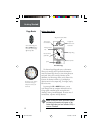
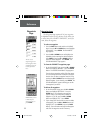
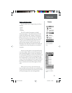
Mark Waypoint Page
The ‘MARK WAYPOINT’ Page allows you to change
the waypoint symbol, name, elevation and location
(latitude and longitude). The information on page 14-15
showed how to change the waypoint symbol and name.
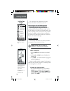
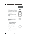
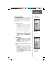
The ‘MENU’ Page
allows you to customize
the eTrex’s features.
Reference
Menu Page
Selections
Remember that pressing
and holding the ENTER
Button gives you the
‘MARK WAYPOINT’
Page.
etrex manual.indd 10/12/00, 11:16 AM20