


4-7
4.10 OUTPUTS
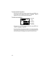
Output
Select
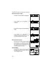
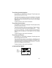
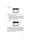
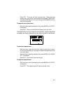
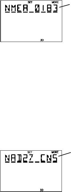
OUTPUT PAGE
You may select the output data format for your interface requirements.
To select the GPS 50 output format...
· Press MORE until the desired output format is displayed. “NMEA
0180”, “NMEA 0182” (also known as NMEA 0180 Complex) and
“NMEA 0183” are available for interfacing with other marine electronic
devices (see Appendix C for more information on NMEA interfaces).
Alternatively, you may select “NO OUTPUT” if you do not use the
interface (this will help extend battery life).
4.11 MAP DATUM
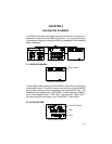
Map Datum
Select
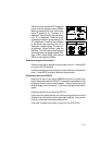
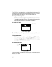
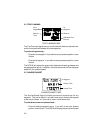
MAP DATUM PAGE
The GPS 50 calculates your position based on the WGS-84 map datum. If
your charts (or other electronic devices) are created using a different datum,
you must set the GPS 50 map datum for consistency (a position in the WGS-
84 datum could differ by 1000 feet or more from one calculated using another
datum). The GPS 50 provides 101 standard map datums and allows you to
enter your own, if necessary. Check the datum in the legend of your chart
and the manuals of your other navigation equipment interfaced to the GPS
50 and set the map datum accordingly.