


10
Main Pages
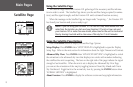
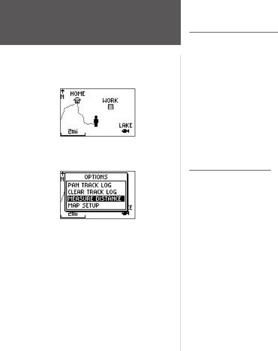
Using the Map Page
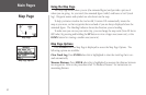
The Map Page shows where you are (the animated figure) and provides a picture of
where you are going. As you travel (the animated figure ‘walks’) and leaves a ‘trail’ (track
log). Waypoint names and symbols are also shown on the map.
To help you better visualize the ‘real world’, Foretrex 101 automatically rotates the
map as you move, so that waypoints that are ahead of you are always displayed above the
animated figure. The Heading Indicator shows the direction you are heading.
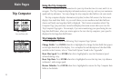
To make sure you can see your entire trip, you can change the map scale (from 20 feet to
800 miles) by pressing and holding the UP button to view a larger area (zoom out), or the
DOWN button for viewing a smaller area (zoom in).
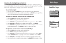
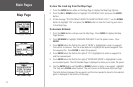
Map Page Options
Press ENTER when the Map Page is displayed to access the Map Page Options. The
following options are available:
Clear Track Log: Press ENTER when this is highlighted to clear the track log that is cre-
ated automatically.
Measure Distance: Press ENTER when this is highlighted to measure the distance between
two waypoints. Refer to the procedure titled “To Measure Distance” for instructions on
measuring distance.
Map Page
Map Page
Map Page Options