


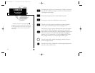
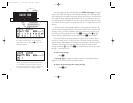

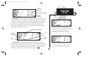
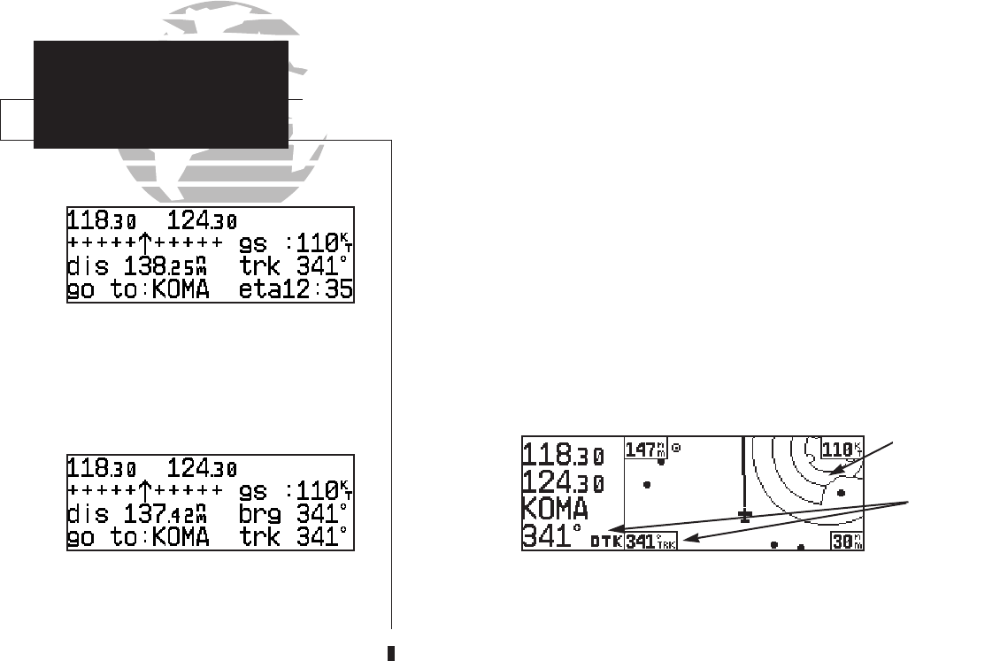
CDI page with ‘trk’ and ‘eta’ displayed.
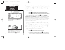
TAKEOFF TOUR
CDI & Map Pages
CDI page with ‘brg’ and ‘trk’ displayed.
In addition to the destination field and graphical CDI, the GNC 250XL CDI page
features four selectable fields for various navigation data so that the page may be con-
figured to your own preferences (see Section 1 for more information). The default set-
tings for the CDI page are:
• Ground Speed (gs)— Your present speed over the ground in knots
• Distance (dis)— The distance to your destination in nautical miles
• Desired Track (dtk)— The course between active from and to waypoints
• Estimated Time Enroute (ete)— The time to your destination based
upon your present speed and course in hours and minutes
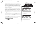
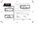
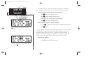
The next page available from the
N
key is the map page. The map page com-
bines the primary navigation information from the CDI page – distance to waypoint,
ground speed and track – with a moving map display. The moving map display shows
your current position (using an airplane symbol or a diamond symbol) relative to near-
by airports, VORs, NDBs, intersections, user waypoints and airspace boundaries.
The map page can be divided into three main sections:
The communication frequencies are located in the upper left corner of the page,
instead of across the top line as on other pages. The top frequency is the active fre-
quency, with the standby frequency directly below.
6
Comm
Frequencies
Data Fields
{
Map Display
250xl manual 2 7/17/98 1:26 PM Page 6