


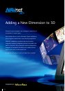


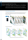
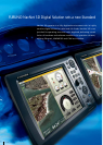
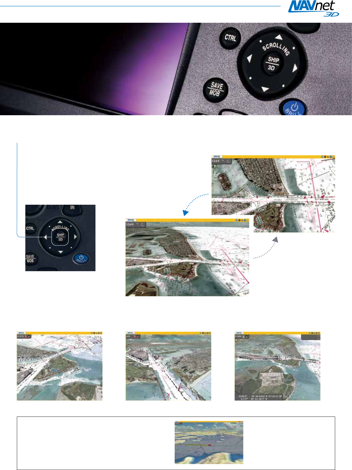
3D
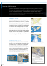
Satellite & 3D chart orientation (with bathymetric data)
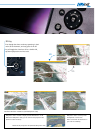
Even though the charts are always operating in their
native 3D environment, one long press of the 3D
key will toggle the chart from 3D to a familiar 2D,
top-down perspective and vice versa.
3D Key
2D
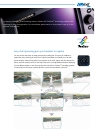
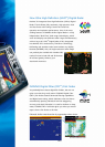
Bathymetric data is needed to display Satellite PhotoFusion
TM
in 3D.
Without the bathymetric data, you can still view the perspective 3D.
(without contour elevation)
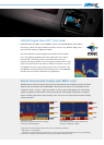
Bathymetric data is currently under
development in some areas.
Please consult with the distributor in
your area for availability.
Satellite & 3D perspective view (Without bathymetric data)