User's manual OnCourse Navigator | 4
Additional software: MapExport - 91 -
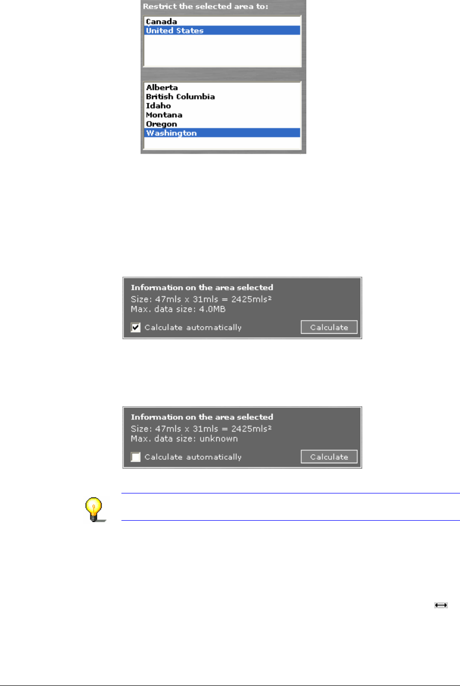
All concerned countries and/or states or provinces/territories
are selected (highlighted in blue). In order to deselect a
country or state or province/territory, click on its entry.
Only the cartographic data of those regions, which are within
the rectangle and within the selected (highlighted in blue)
countries and/or states or provinces/territories will be
exported. This may be useful to minimize the memory
requirements of an exported area.
Calculating the size
of required memory
Determine whether the size of required memory is to be
calculated automatically.
automatically… Check the Calculate automatically check box.
The size of required memory will be calculated and indicated
automatically just after the determination (or modification) of the
area.
manually… Click the Calculate command button.
The size of required memory will be calculated and indicated.
Notice: If more than 150 MB of memory are required, you will be
prompted to reduce the map segment.
Checking and
modifying the area…
You may change the size and the position of the currently
indicated area.
Modifying the size… 1. With the mouse, point one of the little squares at the borders
of the area.
2. When the mouse pointer becomes an arrow with two tips
,
keep the left mouse button pressed and draw the rectangle to
the desired size.


