


User's manual OnCourse Navigator | 4
Additional software: MapExport - 90 -
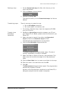
If the area is to cover certain places or Points of Interest, you
may search for them in the database of places.
Click the Search icon.
For details, please refer to “Defining the stage points of an
itinerary”, page 81.
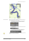
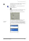
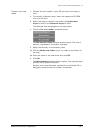
2. Click the Draw Area icon.
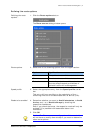
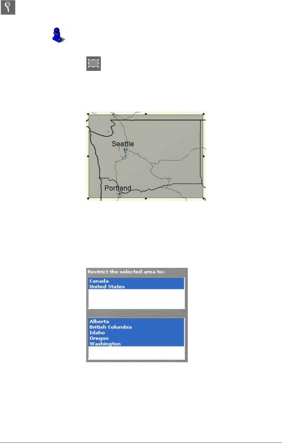
3. On the map, click one corner of the rectangle to define, keep
the left mouse button pressed and draw the desired
rectangle.
The determined rectangle is highlighted by black hatching.
In the Information on the area selected section, length,
width, and surface of the selected area are indicated.
Limiting the
selection…
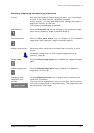
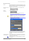
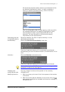
If the selected zone contains parts of at least two countries or
two states or provinces/territories, the concerned countries
will be indicated in the upper Restrict the selected area to
box, the concerned states or provinces/territories in the lower
box.