


45
iCN 530 | User Manual
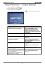
If you want to... Then...
display topographical information on the
2D Map and 3D Map screens
select the Topographic display
check box.
display grid lines on the 2D Map and 3D
Map screens
select the Display Map Grid check box.
display a north-pointing compass on the
2D Map and 3D Map screens
select the Display Compass on Map
check box.
display “no entry” icons on “no entry” roads
on the 2D Map and 3D Map screens
select the Display no entry roads
check box.
5. Tap Save.
The Main Menu screen will display.
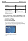
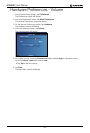
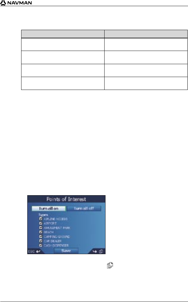
Map Preferences — Points of Interest (POIs)
Points of Interest in a region are grouped into types. This function allows you to select the types
you need. For example, you may be only interested in entertainment venues and want to disable
other POI types such as schools.
1. From the Main Menu, tap Preferences.
2. From the Preferences screen, tap Maps.
3. From the Maps screen, tap Points of Interest.
The Points of Interest screen will display.
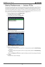
4. You may either choose to display (or hide) icons of all POI types on the 2D Map and 3D Map
screens, or to selectively display desired icons chosen from the list of POI types.
• To display all POI icons (i.e., icons of all POI types) on the 2D Map and 3D Map screens,
select Turn all on. To hide all POI icons, select Turn all off.
• To select a specific POI type icon for display, select the POI type check box. Repeat until all
desired POI types are selected.
• To view additional pages of POI types, press .
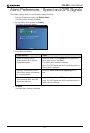
5. Tap Save.
The Main Menu screen will display.