


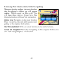
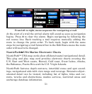


52
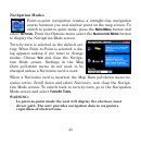
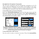
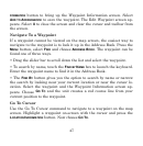
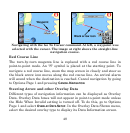
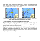
These images show the offshore/coastal detail using NauticPath™ USA
marine charts.
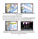
Reading NauticPath Map Information
Use the cursor to highlight a map feature or symbol and a pop-up box
will appear identifying the item. Press the
LOCATION-POI INFORMATION but-
ton. A screen appears with information about the selected item.
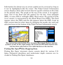
The Miami Harbor Entrance tide symbol in the left image has been
highlighted. At right, the Location-POI Information button has been
selected to view tidal information.