


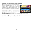
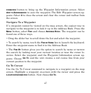


51
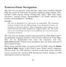
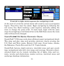
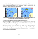
From left to right, menu sequence for navigating a trail.
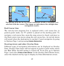
At the start of a trail the arrival alarm will sound as soon as navigation
begins. Press
X to clear the alarm. Begin navigating by following the
red course line. Back tracking a trail requires manually editing the
route to change the point order. To back track, begin with the same
steps for navigating a trail forward but in the Edit Route menu the route
order will need to be changed.
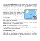
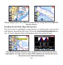
NauticPath™ USA Marine Electronic Charts
NauticPath™ USA map cards show offshore/coastal navigational detail.
This plug and play map card provides electronic charts covering the
U.S. East and West coasts, Hawaii, Gulf coast, Great Lakes, Alaska,
the Bahamas, Puerto Rico and the U.S. Virgin Islands.
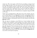
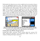
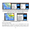
NauticPath features depth contours, intertidal zones and spot sound-
ings, navigational aids with view range and coverage. Extensive object-
oriented detail can be viewed, including list of lights, tides and cur-
rents, wrecks and obstructions, marine services, restricted areas and
anchorage database information.