


21
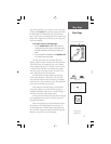
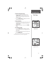
Map Page
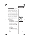
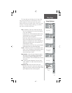
The ‘Setup Map’ option displays the fi ve Map Setup
Pages, each accessed by an on-screen button. A list of
options displays for the features listed. Scale options
indicate the zoom level at which Tracks, Tracks Logs, Map
Features, or Text Boxes display, allowing you to remove
map clutter and defi ne map features.
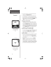
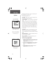
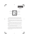
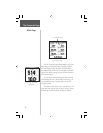
Page Setup
Tracks Setup
Map Features
Setup
Text Setup
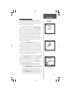
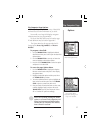
Page - Orientation:
‘Track Up’ or ‘North Up’;
fixes the
top of the map display to the current track heading
or to a north heading.
Auto Zoom:
On or Off;
automatically scales the map
to display both your current location and the next
point to which you are navigating.
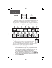
Detail:
Most, More, Normal, Less, or Least;
controls
how much map detail you see. This setting only
applies to a map feature set to ‘Auto’. Those features
which have a specified scale or are turned ‘Off’ are
unaffected by this setting.
Lat/Lon Grid:
On or Off;
when ‘On’ a grid of latitude/
longitude grid lines will automatically appear
.
Tracks - Saved Tracks and Track Log:
Scale options;
‘Off’,
‘Auto’, or 20 ft.-500 miles, sets the maximum scale at
which the feature should appear on the screen.
Goto Line:
Bearing or Course.
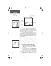
Map Features - Points of Interest, Waypoints
options;
‘Off’, ‘Auto’, or 20 ft.-500 miles, sets the maximum
scale at which the feature should appear on the
screen. Some types of data will display only to certain
zoom scales.
Text - Points of Interest, Waypoints;
Text sizes;
‘None’,
‘Small’, ‘Medium’, or ‘Large’ control the screen size
of the name.
MapSource Info - Show,
Check box
; check mark
determines if map data is used or not. Options Menu
allows you to choose to show all, show none or show
specific MapSource Data. See also page 68..
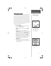
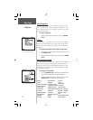
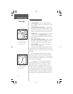
Setup Options
Map Data
Setup