


8
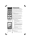
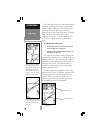
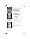
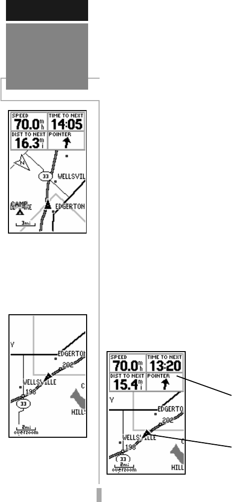
The Map Page shows your movement using a
real-time track log (an electronic breadcrumb
trail that appears directly on the map as you’re
traveling), and your present position as a
pointer icon in the center of the map. The Map
Page also shows any nearby lakes, rivers,
highways and towns. Use the zoom keys (IN
and OUT) to adjust the map to the desired
scale.
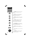
To change the map scale:
1. Press the IN zoom key to select a smaller scale
and more detail for a smaller area.
2. Press the OUT zoom key to select a larger scale
and display a larger area.
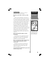
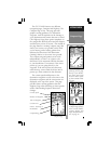
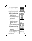
The map can be oriented with the top of the
page always pointing north, oriented along your
desired course, or it can automatically rotate to
keep your current direction of travel (track) at
the top of the screen. The default setting is
‘North Up’, which keeps the top of the page
always pointing north.
Nearby waypoints are depicted on the map
with any one of over 50 different symbols, with
the waypoint name shown directly above the
symbol. We’ll cover more about the GPS 12
MAP’s waypoint features and the Map Page in
the reference section of this manual.
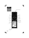
Map Page
GETTING STARTED
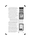
With the map oriented
to ‘track up’, the pointer
always points up and the
map rotates to your cur-
rent direction of travel
(track). Note the north
indicator on the map.
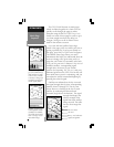
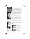
You can also select a full-
screen map from the
Map Page Options. See
page 35.
Data Fields
Present Position
Map Page