


30
Reference
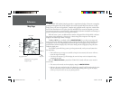
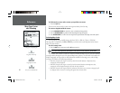
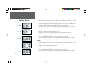
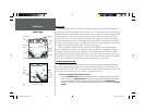
Map Page Options
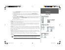
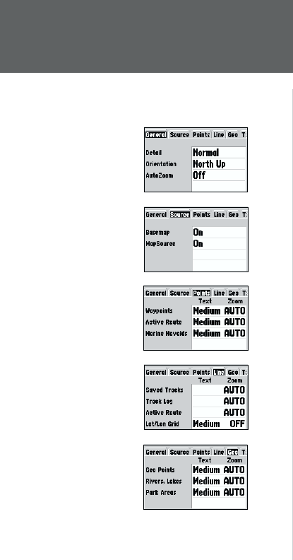
General Tab
Detail— Most, More, Normal, Less, Least: controls how much map detail you will see. This setting
only applies to any map feature set to “Auto”. Those features which have a specifi ed scale or turned
“Off” are unaffected by this setting.
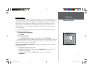
Orientation— North Up— fi xes the top of the map display to a north heading; Track Up— fi xes the
top of the map display to the current track heading; Course Up— fi xes the map so the direction of
navigation is always “up” and turns the navigation leg line vertical on the screen.
AutoZoom— On/Off: when “On” the map will automatically adjust the map scale to a lower scale
as you approach you destination point.
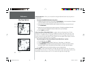
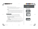
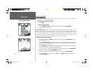
Source Tab
Basemap— On/Off: turns the built in base map on or off.
MapSource— On/Off: turns the optional MapSource data loaded in the unit on or off.
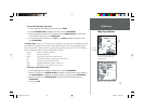
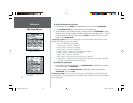
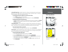
Points Tab— Waypoints, Active Route, and Marine Navaids
Text— None, Small, Medium, and Large: controls the screen size of the name.
Zoom— Auto, Off, 120 ft.-800 mi.: sets the maximum scale at which the feature should appear on
the screen. Some types of data will only show up to certain zoom scales.
Line Tab
Saved Tracks/Track Log/Active Route— Auto, Off, 120 ft.-800 mi: sets the maximum scale at which
the feature should appear on the screen.
Lat/Lon Grid— Text— Medium, None; Zoom—Auto, Off, 120 ft.-800 mi.: sets the maximum scale
at which the feature should appear on the screen.
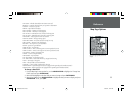
Geo Tab— Geo Points, Rivers/Lakes, Park Areas
Text— None, Small, Medium, and Large: controls the screen size of the name.
Zoom— Auto, Off, 120 ft.-800 mi.: sets the maximum scale at which the feature should appear on
the screen. Some types of data will only show up to certain zoom scales.
General Tab
Source Tab
Points Tab
Line Tab
Geo Tab
168 Manual Part 1.indd 01/09/01, 10:41 AM30