


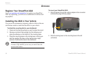

42 StreetPilot 2820 Owner’s Manual
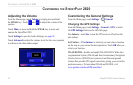
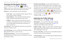
CUSTOMIZING THE STREETPILOT 2820
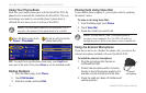
Color Mode—select Day for a bright background. Select Night for
a black background. Select Auto to automatically switch between
the two based upon the time of day.
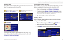
Auto Zoom—disable or enable automatic zooming on the map
for optimal viewing. You can also specify a maximum auto zoom
distance.
Route Color—select the color of the route line.
Dim Roads—dim roads that are not on your route. Select Never or
While Routing.
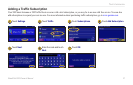
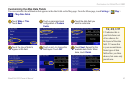
Map Data Fields—adjust the size and content of the data fields
shown on the Map page. Select None to remove the data fields to
see more of the map. Select Wide to make the data fields larger;
they take up more room on the map. Select Thin to see make the
data fields thinner so you can see more of the map. See page 43 for
more information.
Text Size
—adjust the size of text for various items shown on the
map, such as railroads and streets.
Zoom Level Detail—customize which map items appear at various
zoom levels. For each map item, you can select Off, Auto, or a
maximum zoom distance.
NOTE: Adding more detail increases the time it takes the map
to refresh.
Detail Maps—enable and disable the detailed maps loaded in your
StreetPilot 2820.