


11. CUSTOMIZING YOUR UNIT
11-7
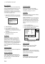
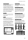
LATITUDE, LONGITUDE
The default latitude and longitude position is
San Francisco, USA (38.00.000’N,
123.00.000’W). When the unit is turned on
for the first time it begins searching for its
actual position. To lessen the time required
to find position, you may enter your position
manually. To switch from North to South and
vice versa, use the N<-->S soft key, and to
switch from West to East and vice versa, use
the W<-->E soft key. Finally, press the
ENTER soft key or the [ENTER] key.
ANT. HEIGHT
Enter the height of the antenna unit above
sea surface. For further details refer to the
Installation Manual.
FIX MODE
You can choose the position-fixing mode
from 2D or 2D/3D. 2D requires three
satellites to fix position; 2D/3D requires three
or four satellites, whichever is available.
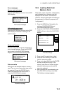
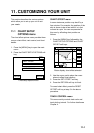
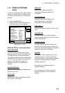
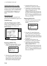
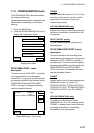
DGPS/WAAS SETUP OPTIONS menu
This menu sets parameters for the DGPS
beacon receiver. (GP1650WDF, or
GP1650WF equipped with DGPS beacon
receiver.) and WAAS. To display it, press the
[MENU] key followed by the GPS/DPGS/TD
OPTIONS and DGPS SETUP OPTIONS soft
keys.
DGPS
WAAS
DGPS 3D
RETURN
DGPS/WAAS MODE AUTO
BEACON FREQUENCY AUTO
BEACON BAUD RATE AUTO
WAAS SEARCH AUTO
CORRECTIONA DATA SET 02
DGPS/WAAS ALARM ON
EDIT
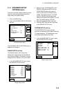
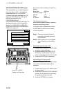
DGPS/WAAS menu
DGPS/WAAS MODE
Select DGPS, WAAS or AUTO. (Position is
fixed by WAAS when DGPS correction data
is not available.)
BEACON FREQUENCY (for DGPS)
DGPS reference station can be searched
automatically or manually. For manual
search, select MANUAL here, and use the
cursor pad to select frequency of DGPS
reference station. The default setting is
AUTO.
BEACON BAUD RATE (for DGPS)
Selects the transmission rate of the DGPS
reference station nearest you, among
AUTO (default setting), 50, 100 or 200 bps.
This setting is only effective when DGPS
mode is “manual”; baud rate cannot be
changed in automatic DGPS mode.
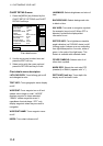
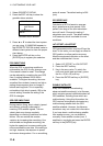
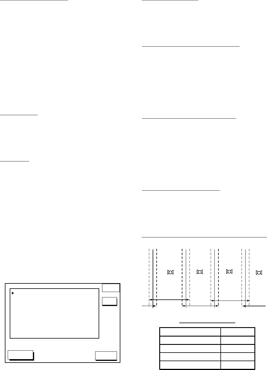
WAAS SEARCH (for WAAS)
Choose AUTO for automatic search or
MANUAL for manual search. For MANUAL,
enter appropriate WAAS satellite number,
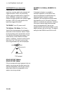
referring to the illustration below.
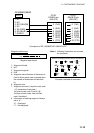
AUTO mode and GEO satellite (in JUNE 2002)
122
AOR-W
54°W
120
AOR-E
15.5°W
131
IOR
64.5°W
134
POR
178°E
118°W 34.75°W 24.5°E 121.25°E
2°
2°
2° 2°
Longitude Range Satellite
120.25
°
E to 117
°
W 134
119
°
W to 33.75
°
W 122
35.75
°
W to 25.5
°
E 120
23.5
°
E to 122.25
°
E 131
One-degree threshold