


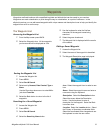
Magellan eXplorist 310 User Manual 5
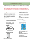
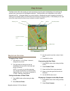
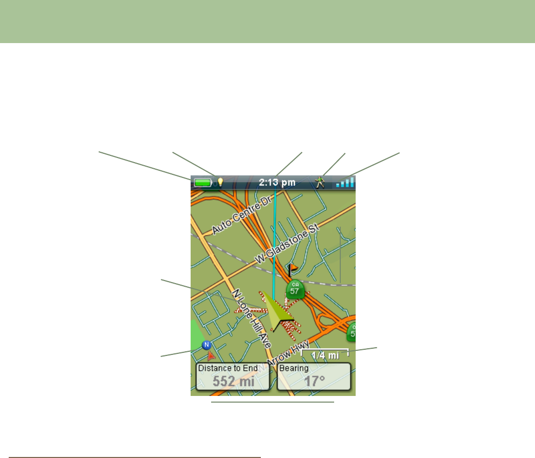
Battery Life Backlight Time Mode Satellite Status
Map Scale
Current Location
Icon
North Indicator
Data Fields
Map Screen
The Map screen will be the screen you most commonly use and a good understanding of its workings will
enhance your experience with the Magellan eXplorist. The Map screen can be displayed in two modes,
Navigate and Pan. In Navigate Mode your current location is displayed along with a graphical indication of
where you’ve travelled (track) and information about where you are going (route). In Pan Mode you can ‘pan’
around the map looking for places to go or places to create a waypoint.
Map Screen Overview
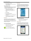
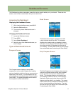
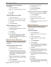
Changing Zoom Levels
1. Use the Zoom + or the Zoom - buttons to
change the zoom level.
2. The map scale will change and can be
identied by the map scale in the lower right
portion of the map.
NOTE: If you are in a route the map scale
can change automatically to a scale that best
displays the route. You can turn autoscale off
in Tools > Settings > Map Options.
Setting the Number of Data Fields
1. Press MENU button while viewing the Map
screen.
2. Select Edit # of Fields....
3. Use the joystick to set the number of data
elds.
4. Press BACK to nish.
Customizing the Data Fields
1. Press MENU button while viewing the Map
screen.
2. Select Edit Nav Fields.
3. Select the Data Field to be customized.
4. Select on the data type eld from the list
displayed.
5. Use the BACK button to exit.
Displaying a Compass on the Map Screen
1. Press MENU button while viewing the Map
screen.
2. Select Show Compass.