


Magellan eXplorist 310 User Manual 23
eXplorist Tools
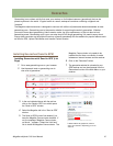
The Magellan eXplorist has a Tools Menu that gives you access to tools that you may nd useful while using the
receiver. Additionally, the Tools Menu provides access to the Settings Menu (see the chapter on Settings for
details) which gives you the means to customize the eXplorist for your navigation requirements.
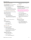
The Tools Menu
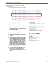
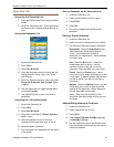
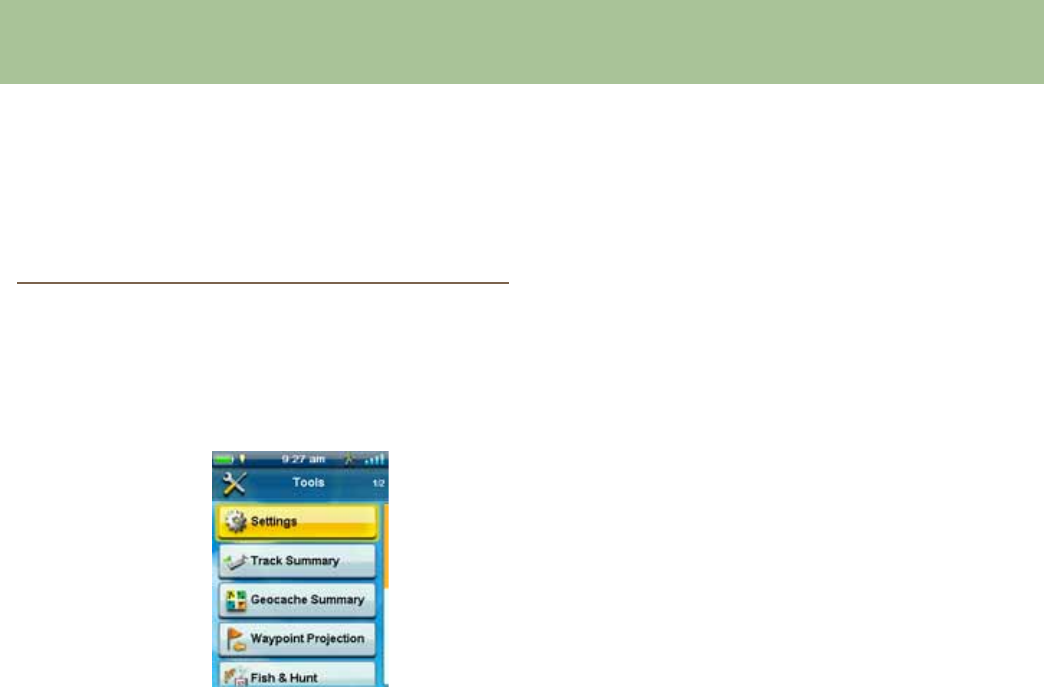
Accessing the Tools Menu
1. From the Map screen, press BACK.
2. Select the Tools icon.
3. The Tools Menu is displayed.
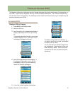
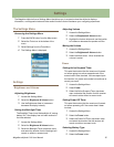
Settings
Provides access to the Settings Menu which allows
for customization of the receiver.
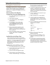
Accessing Receiver Settings
1. Access the Tools Menu.
2. Select the Settings button.
(
See the chapter on Settings for details.
)
Track Summary
Provides detailed statistics for the current active track.
Viewing Track Summary
1. Access the Tools Menu.
2. Select the Track Summary button.
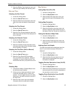
Geocache Summary
Provides detailed statistics for all geocaching
activities performed while using the eXplorist receiver.
Viewing Geocache Summary
1. Access the Tools Menu.
2. Select the Geocache Summary button.
Waypoint Projection
A waypoint can also be created by entering the
distance and heading for the waypoint from your
current location.
Projecting a Waypoint
1. Select the Bearing eld. Use the keypad to
enter the degrees that the projected waypoint
is from your current position.
2. Select OK.
3. Select the Distance eld. (Note that you can
Select the units of measure drop-down menu
to change the units to be used.
4. Use the keypad to enter the distance from
your current location that you want to project a
waypoint.
5. Select OK.
6. Select Next>.
7. The Waypoint Description page is displayed.
Make the necessary edits and Select the Disk
icon at the bottom to save.