


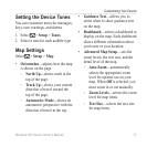
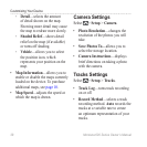

Customizing Your Device
40 Montana 600 Series Owner’s Manual
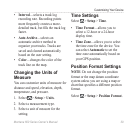
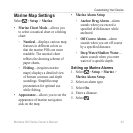
• —sets the position
format in which a given location
reading appears.
• —sets the coordinate
system on which the map is
structured.
• —shows the
coordinate system the device is
using. The default coordinate
system is WGS 84.
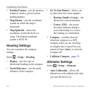
Heading Settings
You can customize the compass
settings.
Select > > .
• —sets the type of
directional heading on the compass.
• —sets the north
reference of the compass.
• —allows you
to select how the course appears.
◦ ( or )—the
direction to your destination.
◦ ()—the course
deviation indicator displays
your relationship to a course
line leading to a destination.
• —switches from an
electronic compass to a GPS
compass when you are traveling
at a higher rate of speed for a set
period of time (), or turns the
compass off.
• —page 19.
Altimeter Settings
Select > > .
• —allows the
altimeter to self-calibrate each time
you turn the device on.