24
Reference
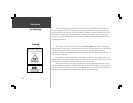
Customizing the Map
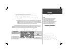
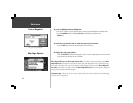
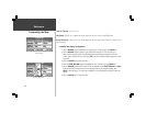
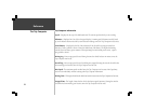
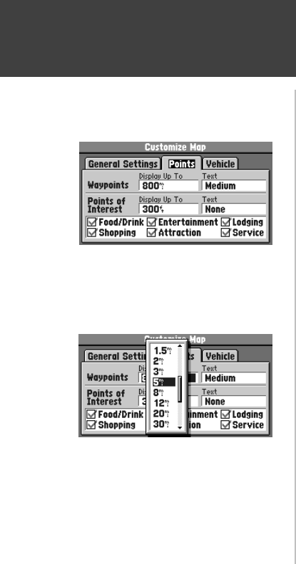
‘Points’ File Tab (top left picture)
Waypoints - Allows you to determine which map scales (if any) show Personal Waypoints.
Points of Interest - Allows you to set which map scales (if any) show Points of Interest, such as Food /
Drink locations.
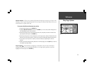
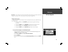
To modify the display of waypoints:
1. Use the ROCKER keypad to highlight the ‘Display Up To” field and press the ENTER key.
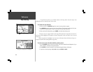
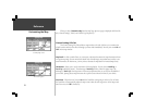
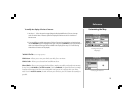
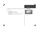
2. Use the ROCKER keypad to select a map scale (bottom left picture). The map scale you
select causes waypoint symbols to be displayed on the Map Page only when that scale or a
smaller scale is selected. You may also select Off if you do not want to display waypoints on any
map scale.
3. Press the ENTER key to accept your entry.
4. Press the RIGHT ROCKER keypad to highlight the ‘Text’ field and press the ENTER key.
5. Use the ROCKER keypad to set the text size for the waypoint name (Small, Medium or Large).
If you do not want the waypoint name to be displayed next to the waypoint symbol, select
None. If the Map Page is at a scale where waypoints are not displayed, no waypoint name will
appear.
6. Press the ENTER key to accept your entry.
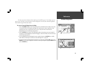
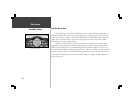
“Points’ File Tab
Selecting a Map Scale


