


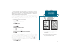
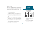
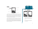
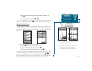
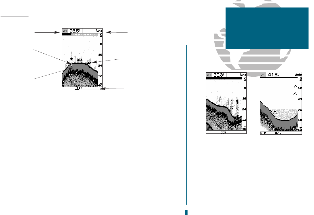
Sounder Page
The sounder page is where your GPSMAP 185 Sounder becomes a powerful
fishfinder. The top of the screen contains any of thirteen selectable data field
options, while the middle of the page contains a right-to-left moving sonar image
of the water beneath your boat. (Note: Items appear as they pass under your trans-
ducer. Those items on the right side of the screen are closer to you than those on
the left.) Fish are displayed as a darkened arch or a fish icon in three different
sizes. Thermoclines are shown as shades of gray.
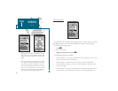
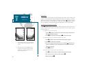
The area of strongest sonar return (or whiteline) is displayed as a solid gray
. Typically,
the bottom will be the primary whiteline. A thin whiteline indicates a soft bottom
while a thick whiteline shows a harder bottom. A black line is used to show the
point were the water meets the whiteline. This black line will follow the contour
of the bottom and show any objects of reasonable size. Along the right side of the
screen is an adjustable scale which reflects the depth of the area being displayed.
The status bar at the bottom of the page displays satellite signal status, digital
depth, and any triggered alarms.
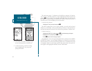
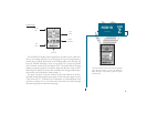
A. The right side of the screen represents the
transducers location on your boat. Items
appearing on the right side of the screen were
passed by more recently than those on the
left.
B. The four-level gray LCD screen makes it pos-
sible to easily separate sonar targets from
their surroundings.
25
A
B
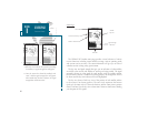
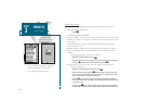
SECTION
3
SOUNDER PAGE
Overview and
Range Modes
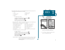
Data Field
Whiteline
Status Bar
Fish Icon
Range Mode
Black Line