


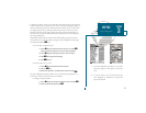
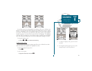
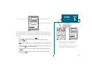

A
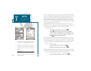
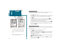
B
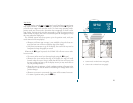
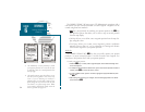
As you head toward your destination, the highway will move to indicate your
progress to the waypoint and which direction you should steer to stay on course.
If you are navigating a route, the Navigation Page will show each route waypoint
in sequence, with the active leg indicated by the white portion of the highway.
Nearby waypoints not in the active route will also be displayed. The highway
scale may also be zoomed in or out to display a larger or smaller view of the high-
way. Five scales are available from 1/4 to 4 nm, with a default setting of 1/4 nm.
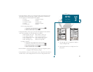
To change the highway scale:
1. Press the
C
or
D
key to select the desired setting.
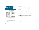
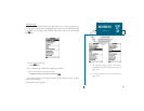
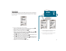
Navigation Page Options
The GPSMAP 180s navigation options page allows you to define the nav data
fields and select what waypoints are displayed on screen.
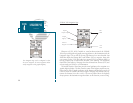
To display the Navigation Page options:
1. Press
O
.
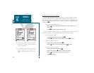
To select a menu option:
1. Highlight the desired option and press
T
.
31
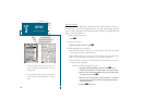
A. To change the highway scale, press the IN and
OUT keys.
B. The navigation options page lets you set up the
Navigation Page to your own preferences.
SECTION
4
NAVIGATION PAGE
Highway Scale &
Nav Page Options