


39
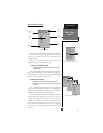
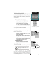
User Grid Page
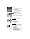
Map Datum Field
Position Format Field
Navigation Setup Submenu
Page
REFERENCE
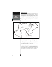
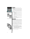
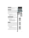
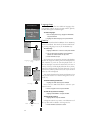
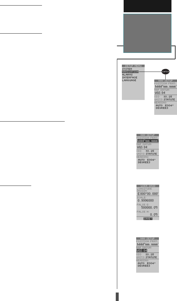
Main Menu—
Navigation Setup
Submenu
Navigation Setup
The navigation setup submenu page is used to select
the Position Format, Map Datum, CDI Scale, Units of
Measurement, and Heading information.
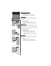
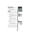
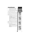
Position Formats
The default position format for the GPS 12 CX is
latitude and longitude in degrees and minutes (hdddº
mm.mmm’). You may also select degrees, minutes and
seconds (hdddºmm’ss.s’’); degrees only (hddd.dddddº);
UTM/UPS; MGRS; Maidenhead; User-defined Grid; or
regional British, German, Irish, Indo So LCO, Indian,
New Zeland, Swedish, Swiss, Taiwan and West Malayan
Grids.
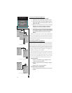
To select a position format:
1. Highlight the ‘POSITION FRMT’ field, and press
ENTER
.
2. Select the desired setting, and press
ENTER
.
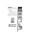
User Grid Position Format
The ‘User Grid’ option lets you create a user-defined
position format by establishing factors such as longitude
of origin, scale, and false Easting or Northing.
To define a user grid:
1. Select ‘User Grid’, and press
ENTER
.
2. Enter values for longitude origin, scale, and false
Easting and Northing, and press
ENTER
.
3. Highlight ‘SAVE?’, and press
ENTER
.
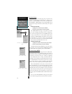
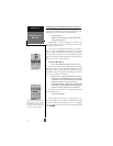
Map Datums
The ‘MAP DATUM’ field comes with a ‘WGS 84’ de-
fault setting. Although over 100 map datums are avail-
able for use (see Appendix D for map datums), you should
only change the datum if you are using maps or charts
that specify a different datum than WGS 84. If no datum
is specified, you may select each datum applicable to
your region until you find the datum that provides the
best positioning at a known point.
To select a map datum:
1. Highlight the ‘MAP DATUM’ field, and press
ENTER
.
2. Select the desired setting, and press
ENTER
.
Warning: Selecting the wrong map datum can result
in substantial position errors. When in doubt, use the
default WGS 84 datum for best overall performance.