3. PLOTTER OPERATION
3-35
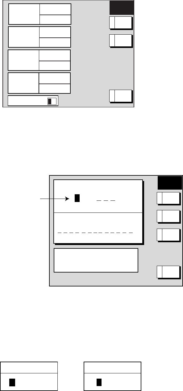
1. Press the MENU key to open the menu.
2. Press the C: WAYPOINTS/ROUTES soft key.
3. Press the D: CREATE VOYAGE-BASED ROUTE soft key.
▲
001
WAYPOINTS
35
LENGTH
25.6 nm
002
WAYPOINTS
2
LENGTH
56.7 nm
003
WAYPOINTS
3
LENGTH
21.1 nm
004
WAYPOINTS
3
LENGTH
21.1 nm
SAVE
ROUTE
PUSH ENTER KNOB TO
SEARCH FOR
---
RETURNE
NEWA
SELECT
ROUTE
B
1/20
Save route menu
4. Press the A: NEW soft key to show the new route window.
Note: If you want to tack voyage-based points onto the end of an existing route, select
the route with the Trackball, then press the D: SELECT ROUTE soft key instead of the
A: NEW soft key. Then, go to step 6.
SAVE
ROUTE
Next consecutive route number
ROUTE NAME
0 0 6
COMMENT
USE FURUNO BACK TRACK FUNCTION
TO AUTOMATICALLY CREATE ROUTE
BY TIME OR DISTANCE.
CANCELE
MANUALC
BCKTRK
DIST
B
BCKTRK
TIME
A
Save route window
5. If required, you may change the route name and enter a comment.
6. Choose how to record points for your route, by time, by range or manual entry, by
pressing A: BCKTRK TIME, B: BCKTRK RANGE or C: MANUAL soft key as appropriate.
For manual entry, go to step 8. For BCKTRK TIME, BCKTRK DIST one of the following
displays appears.
00h01m
(When selecting BCKTRK TIME.)
00.1nm
(When selecting BCKTRK DIST.)
TIMEINTERVAL DISTANCEINTERVAL
Displays for entry of time, distance interval


