


67
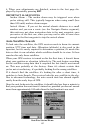
Now press
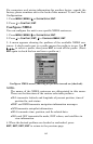
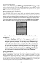
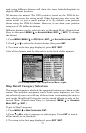
MENU|MENU|↓ to GPS SETUP|ENT|↓ to COORDINATE SYS-
TEM
|ENT|↓ to SETUP MAP FIX|ENT. The following screens appear, and MAP
SCALE is highlighted. Press ENT and enter the map's scale. This is gener-
ally at the bottom of the paper map. It's shown as a ratio, for example
1:24000. Press
EXIT and the unit returns to the Configure Map Fix screen.
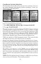
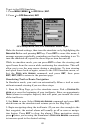
Configure a map fix so iFINDER can find your position on a printed
chart or topographical map.
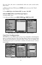
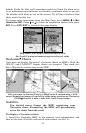
Press ↓ to SELECT ORIGIN|ENT|ENT (MY WAYPOINTS) if you saved the refer-
ence point as a waypoint. Select the waypoint name that you assigned
to the reference point and press
ENT. The unit displays a waypoint in-
formation screen with the command
SET AS ORIGIN selected; press ENT
and the unit returns to the Configure Map Fix menu. Finally, press
EXIT to erase this menu. Now press ↑ to COORD SYSTEM|ENT, select MAP
FIX from the list and press ENT. All position information now shows as a
distance from the reference point you chose.
Customize Page Displays
The Position, Navigation, and Map pages all have customizable options
that are available in Advanced Mode. These options decide which in-
formation is viewable on each page.
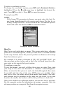
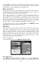
Customize Position Page
This page has nine boxes you can customize. While on the Position
Page, press
MENU|↓ to CUSTOMIZE|ENT. The topmost data box begins
flashing. Use the arrow keys to select the box you want to change. With
the display box highlighted and flashing, press
ENT to open a list of op-
tions. Scroll ↓ or ↑ to select a different data option, then press
ENT.
You can repeat these steps to change the display in another box. When
all your changes are finished, press
EXIT to return to the page display.
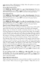
Customize Navigation Page
While on the Navigation Page press
MENU|↓ to CUSTOMIZE|ENT. Press ↓
or ↑ to select a display option. With the option highlighted, press
ENT to
check it (turn on) and uncheck it (turn off.) After all options are set,
press
EXIT to return to the page display.