


20
Reference
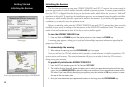
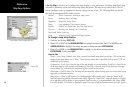
Map Page Options
• Set Up Map— allows you to configure the map display to your preferences, including map detail, map
orientation, automatic zoom, and various map items and points. The map set up option uses a ‘file tab’
feature, making it easier to organize the various settings for ease of use. The following table lists the file
tabs and the settings available under each tab:
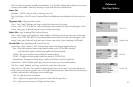
General Detail, Orientation, AutoZoom, Map Colors
Source Basemap, Data Card Maps
Waypoints Waypoints, Active Route
Points Spot Soundings, Tide Stations, Services
Navaids Symbol Set, Symbol Size, Text Size, Light Sectors
Nav Line Heading Line, Bearing Line, Course Line
Track Saved Tracks, Track Log
Other Accuracy Circle, Lat/Lon Grid, Map Outlines
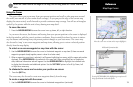
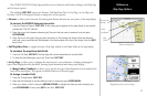
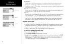
To change a map setup feature:
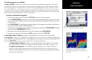
1. Press the ‘Set Up Map’ SOFT KEY.
2. Move LEFT or RIGHT on the ARROW KEYPAD to highlight the desired tab, then UP or DOWN on the
ARROW KEYPAD to highlight the setting you want to change and press
ENTER/MARK.
3. Move UP or DOWN on the ARROW KEYPAD
to highlight to the desired setting and press
ENTER/MARK. To exit, press QUIT.
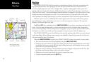
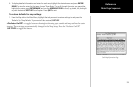
General Tab
Detail— Most, More, Normal, Less, Least: controls how much map detail you will see. This setting only
applies to any map feature set to “Auto”. Those features which have a specified scale or turned “Off” are
unaffected by this setting.
Orientation— North Up— fixes the top of the map display to a north heading; Track Up— fixes the top
of the map display to the current track heading; Course Up— fixes the map so the direction of naviga
-
tion is always “up” and turns the navigation leg line vertical on the screen.
AutoZoom— On/Off: when “On” the map will automatically adjust the map scale to a lower scale as you
approach you destination point.
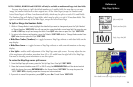
Map Colors— Water /Land Mode or For Shade/Sunlight (color models only): when in “Water Mode”,
land will appear as a darker color and water will be lighter. In “Land Mode”, land will appear as a lighter
color and water will be darker. If using optional BlueChart data, it is recommended to use ‘Water Mode’.
For color models, “For Shade” is designed to match the color of physical marine charts as closely as pos-
General Tab
Main Menu—Map Configuration Tab