


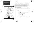

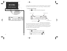


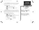
The second and third lines of the satellite status page provide the satellite number
and signal strength of each satellite in view. Additional information regarding each
satellite’s azimuth, elevation and other data is also available.
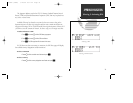
To view individual satellite information:
1. Press
S
and use
O
to display the satellite status page.
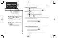
2. Press
C
to obtain a cursor.
3. Use
O
to highlight the satellite number you wish to view and press
E
.
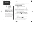
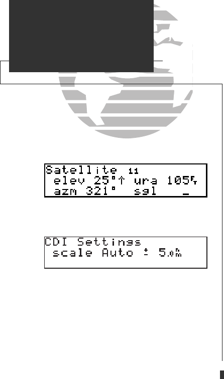
This will display the satellite data page, showing the selected satellite’s number,
elevation angle, rise or fall indication, user range accuracy (URA, or the range
measurement accuracy as determined by the satellite), azimuth and signal strength.
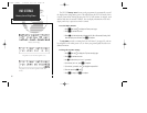
To view other satellites:
4. Rotate
K
to view information on the next satellite.
5. Rotate
O
and press
C
on the satellite status page when you are finished.
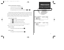
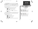
The next available page under the
S
key is the CDI settings page, which
allows you to define the scale of the GPS 155’s course deviation indicator.
To change the CDI scale:
1. Press
S
and rotate
O
to select the ‘CDI Settings’ page.
2. Press
C
and rotate
K
to select either ‘Auto’, ‘5.0 nm’, ‘1.0 nm’, or ‘0.3 nm’.
3. Rotate
O
to highlight ‘ok?’ and press
E
to approve.
The scale values represent full scale deflection of the CDI to either side.
NOTE: The selected CDI scale will not take effect until approved.
86
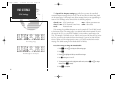
UNIT SETTINGS
Status & CDI Setup
The CDI setting will be reset to the AUTO posi-
tion whenever a GPS approach is armed, selected
or the unit is powered down. The AUTO setting
allows the CDI to smoothly transition from the
5.0 nm to the 0.3 nm scale during an approach.
Viewing individual satellite information.
155man (GOOD) 7/24/98 1:57 PM Page 86